

How to get there:
From the road 'Izola – Portorož' turn right at the traffic light towards Strunjan (signpost). Continue down the main road till the end of the road. There is a huge parking lot in front of a neat beach. During summer months it gets quite crowded.
Description:
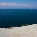
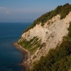
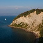
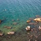
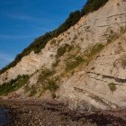
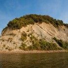
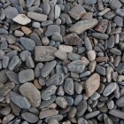
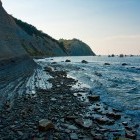
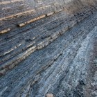
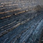
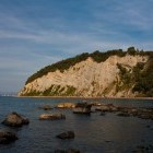
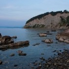
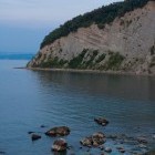
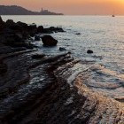
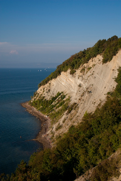
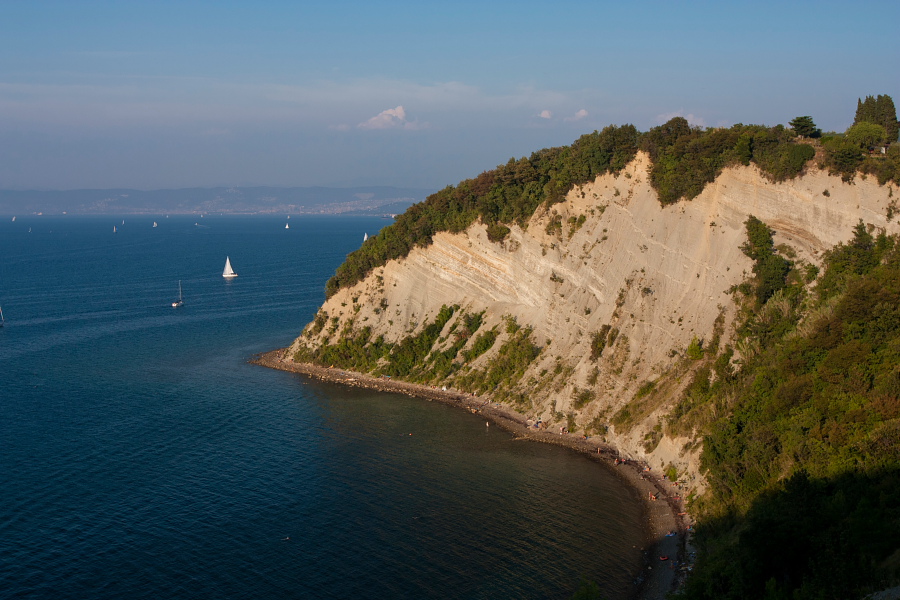
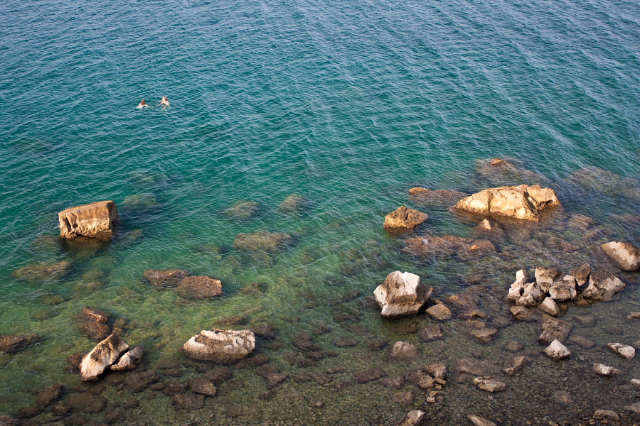
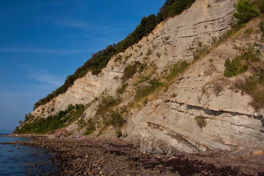
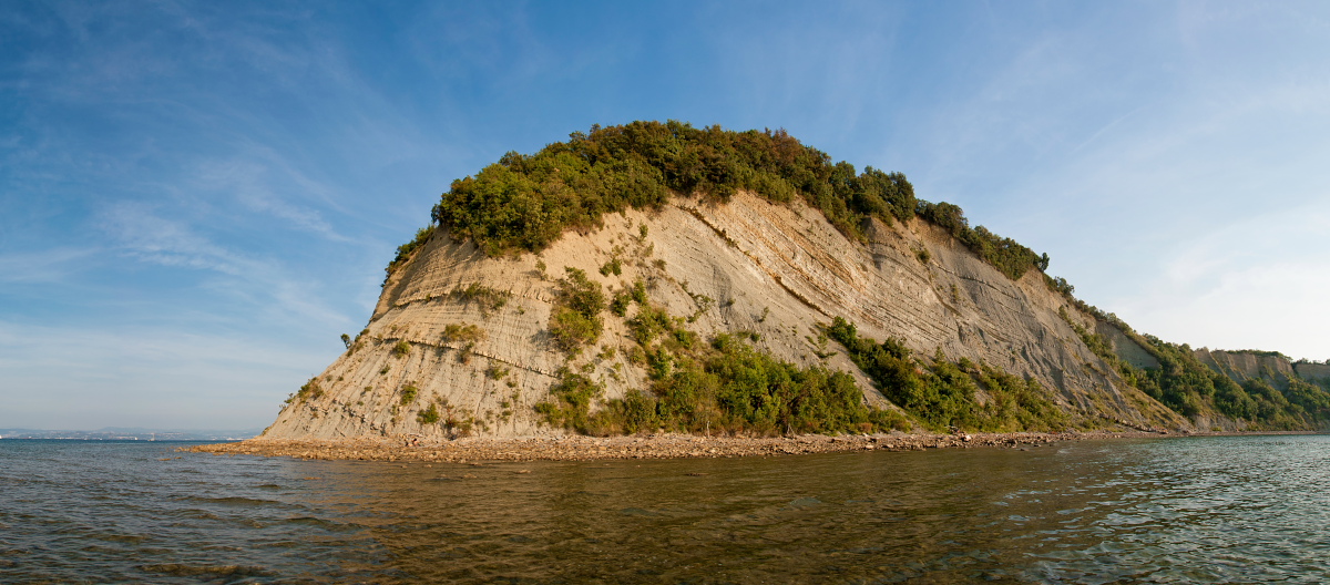
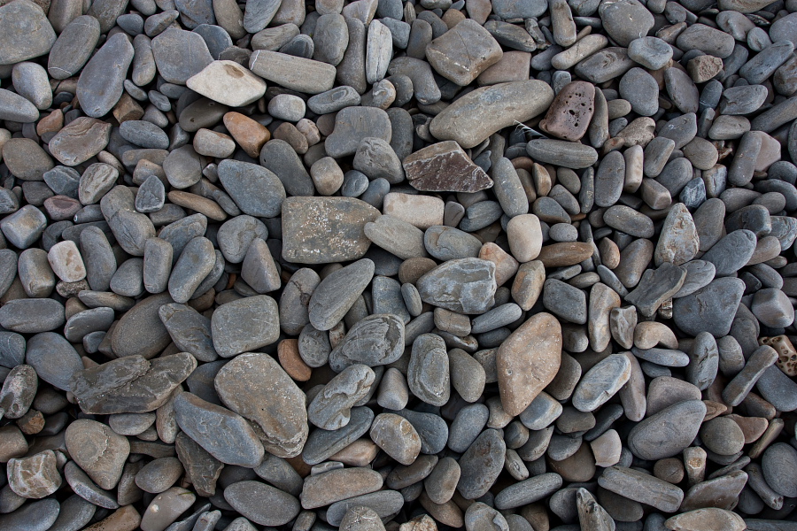
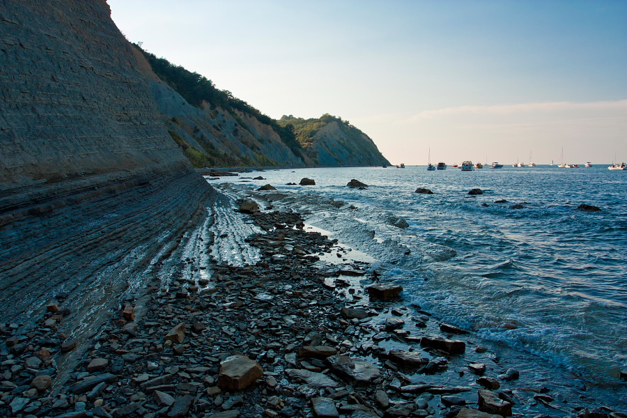
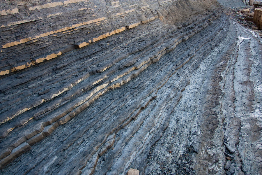
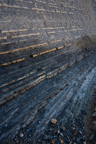
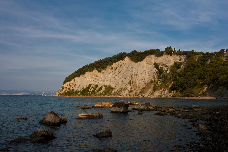
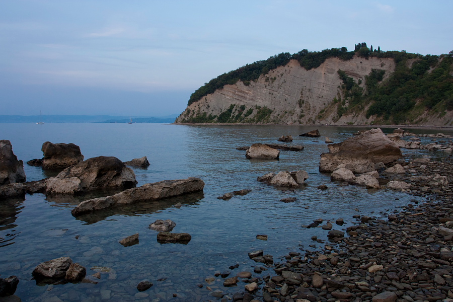
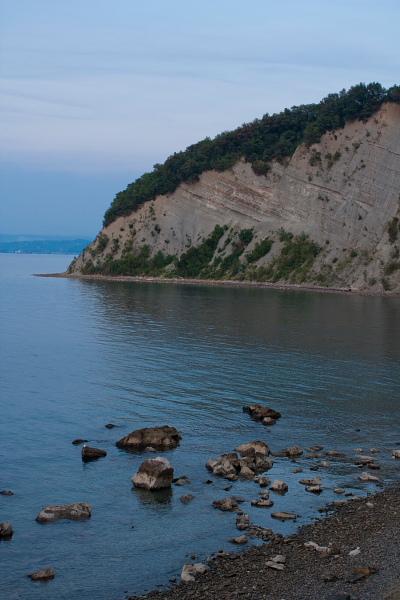
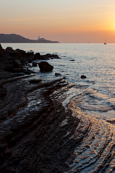
Park in front of Strunjan's public beach right by the salt pans. Enter the beach (admission fee for the beach itself is collected in summer months) and continue down the shore to the right. Soon you leave the 'concrete embrace' of the beach behind and start walking on pebbly shore. On your right a wooded terrain begins to rise up increasingly, and on your left you have a nice view of Piran. On 'Rtič (Cape) Strunjan' you will already think the path ends, but just carry on down the shore. At high tide you will have to wade into the water for a few meters and then you come to a very unusual 'terrace'. The most interesting part of the route starts here. Steep flysch cliffs are incredible, but very crumbly also, so be careful when wandering underneath them! They are almost 100 meters high in some parts! Follow the shore to 'Mesečev Zaliv' (= Moon Bay), where the first path ascends to the top of the cliffs.
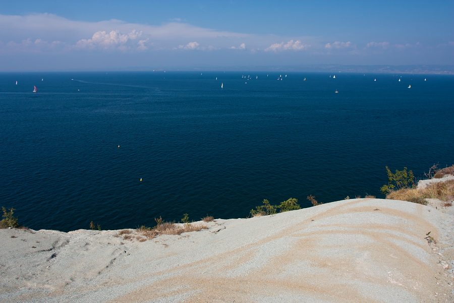
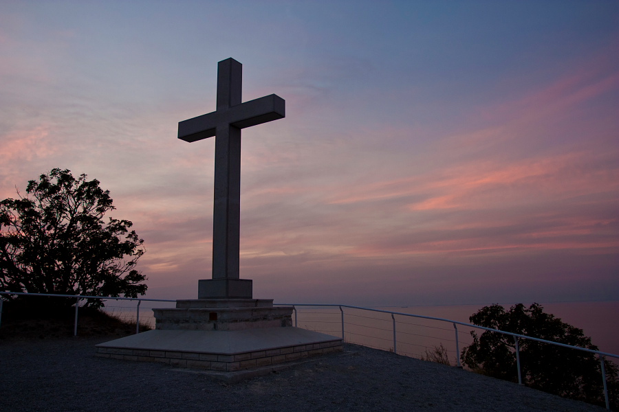
If you have had enough, just go up here, otherwise continue ahead in the direction of Izola. Behind 'Rtič (Cape) Ronek' (at the end of the 'Moon Bay') there are almost no bathers in the summer-time. Later a second path ascends to the right and after interesting 'Bele skale' (= White Rocks) a third one. If you wish you can go all the way to Izola by the sea. Occasionally you come across information boards about the park on which there are maps of the area as well, so there should be no problem with orientation. No matter which path you chose for ascending above the cliffs, simply turn right on the top and return back to the west on a marked hiking path. Above the 'Moon Bay' the path comes to the verge of the cliffs and once again we have a spectacular view of them. You will come to a big cross, continue straight ahead and descend through a lovely forest directly to the above mentioned parking lot by a 'tourist village'.
Basic info:
Duration: whole tour takes aprox. 2.5 h
Length: 7 km
Altitude difference: 100 m
Type of path: easy unmarked path
