

| asphalt, dirt road, trail | ||
Starting point:
The most convenient starting point for those coming from the central Slovenia is the following: leave motorway “Ljubljana – Koper” on exit Senožeče. Turn right after the exit (westwards) and drive a couple hundred meters to the first crossroad with a signpost for Dolenja Vas village. Park here on the side of the road.
Description:
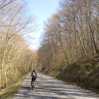
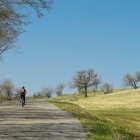
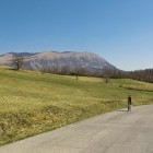
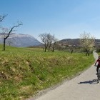
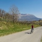
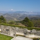
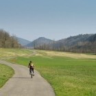
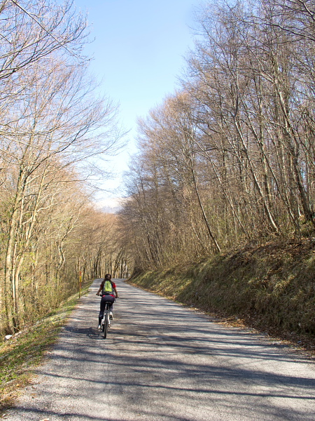
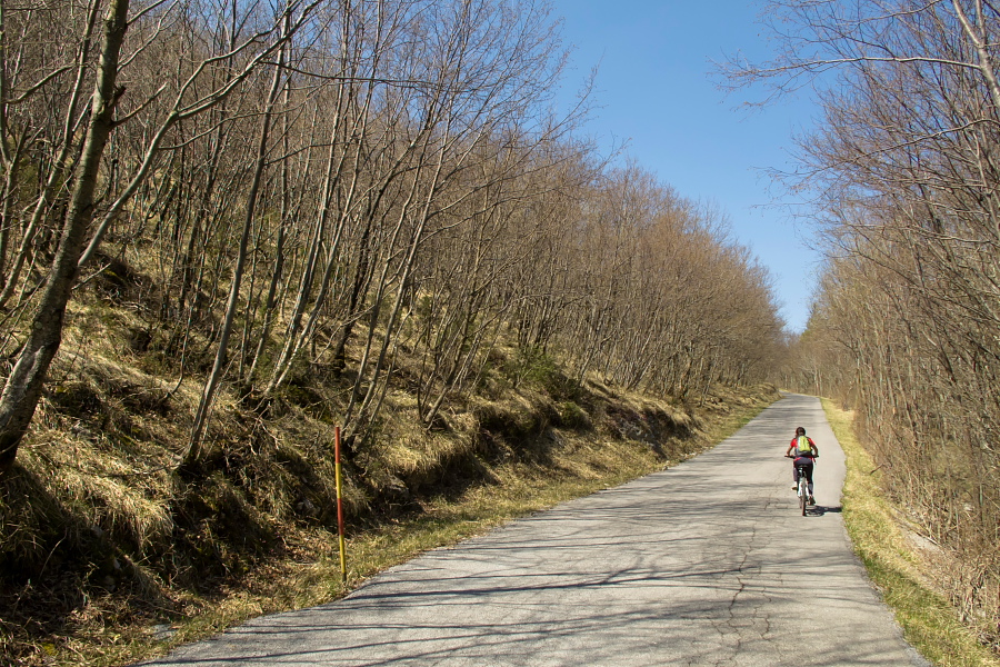
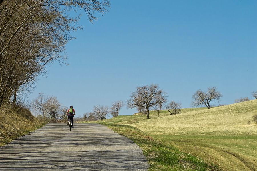
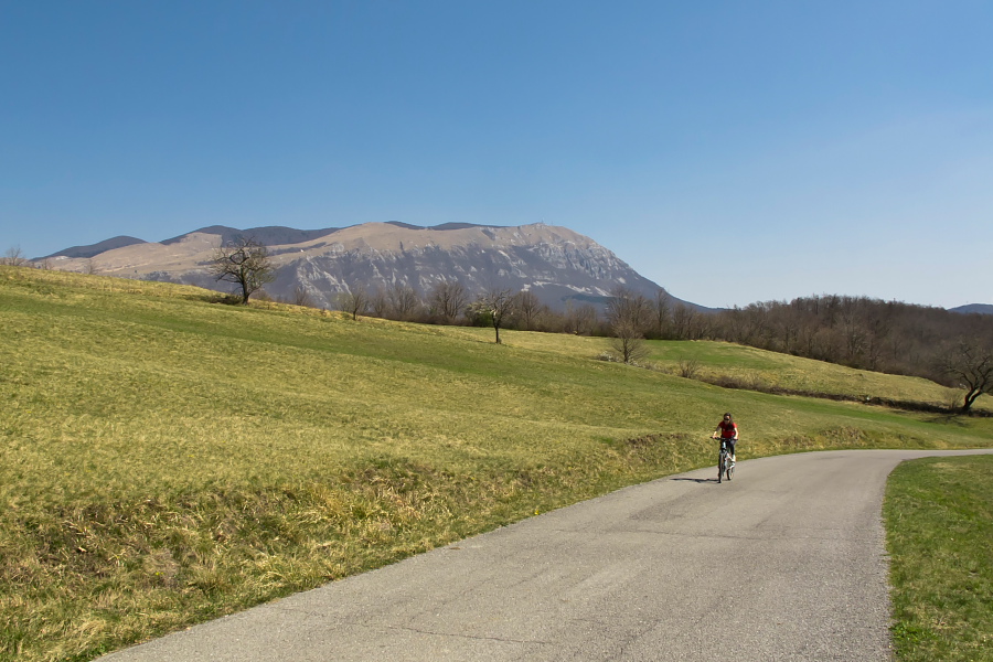
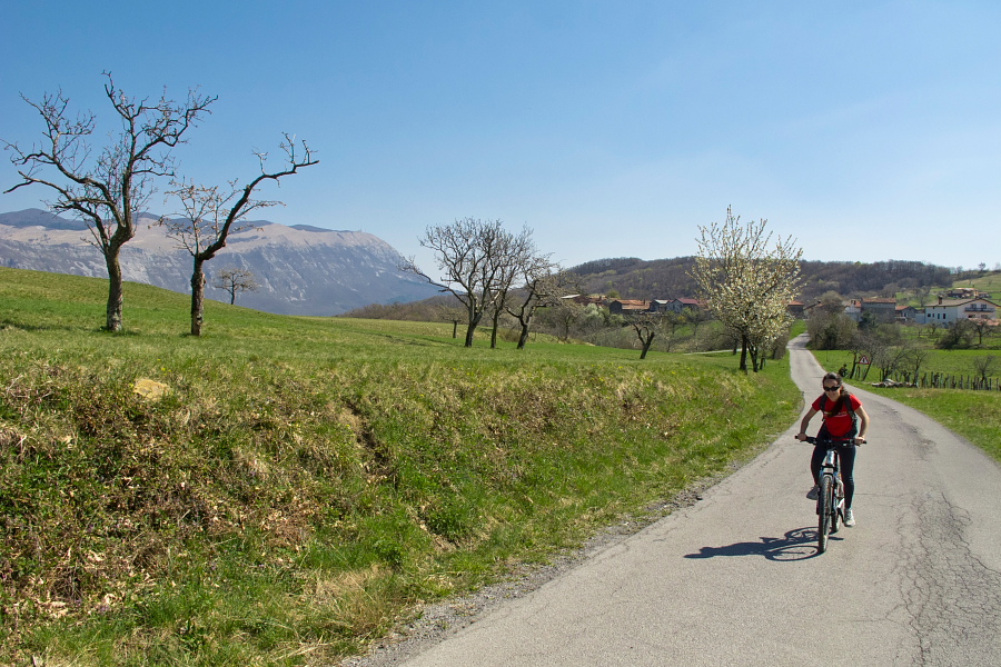
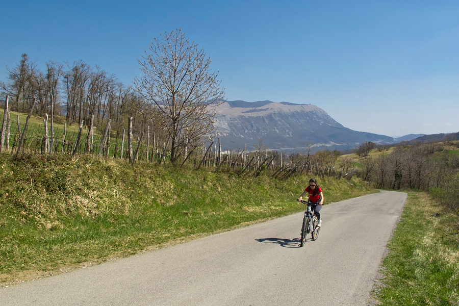
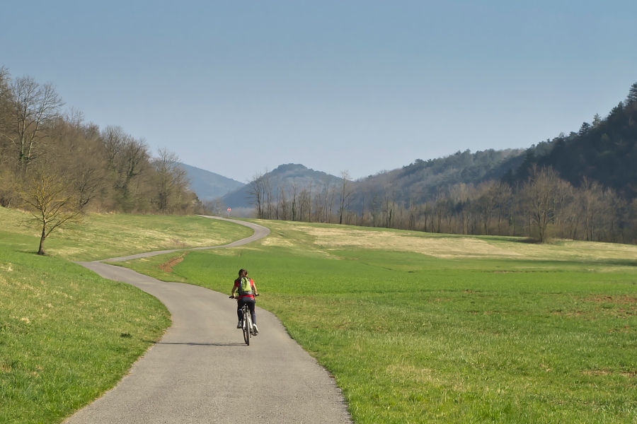
Start cycling from the above mentioned starting point towards Dolenja Vas where you turn left and begin descending along an asphalt road. Cross the Raša river at the lowest point and start to ascend towards Vipavska Brda hills. Soon you come from a forest to panoramic meadows and proceed on the main road (almost no traffic) through villages Veliko Polje, Vrabče, Gradišče and Štjak. Drive towards north-east on the top of the hill throughout (a gorgeous view towards Nanos and Vipava walls opens). Begin to descend towards Raša valley behind Štjak village.
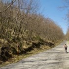
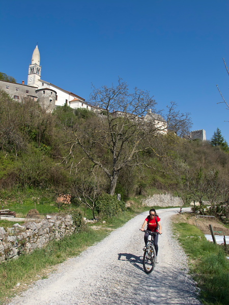
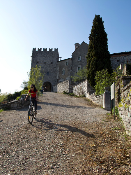
Once you merge with a larger road (leading towards Vipava and Podnanos), go left and cross a bridge over Raša river before long. Here you can already turn back towards the starting point through Raša valley (direction south-west). However, I suggest a short 'detour' to the picturesque Štanjel village. Ascend on the main road to the center of Kobdilj village and turn right between houses there. A small dirt road leads to Štanjel. (Option: You can also go from the bridge over Raša river to Kobdilj along a tractor road. At first it leads across a wide meadow, later it ascends through a forest and just before Kobdilj it merges with the main asphalt road again.)
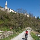
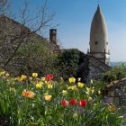
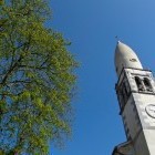
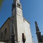
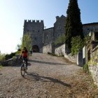
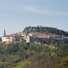
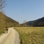
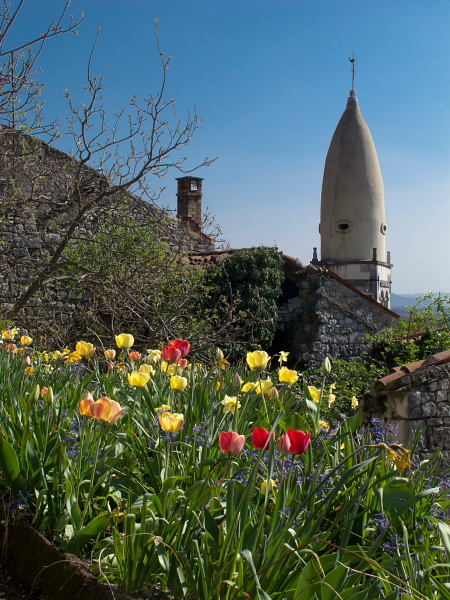
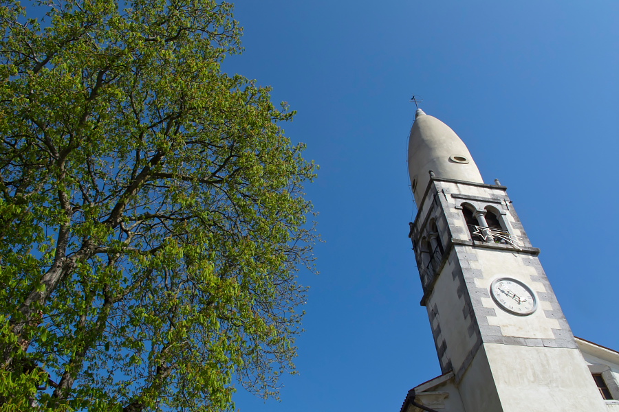
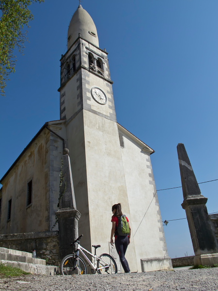
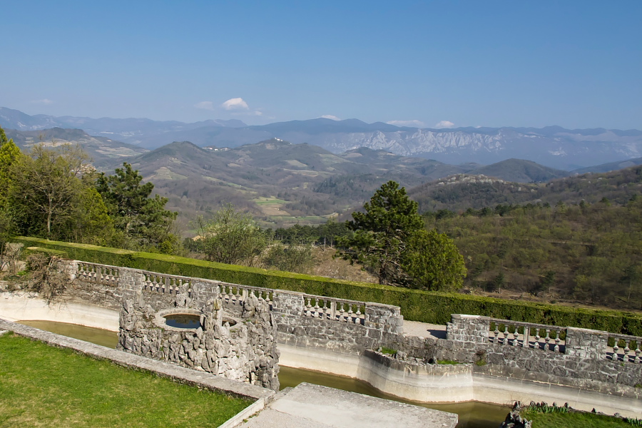
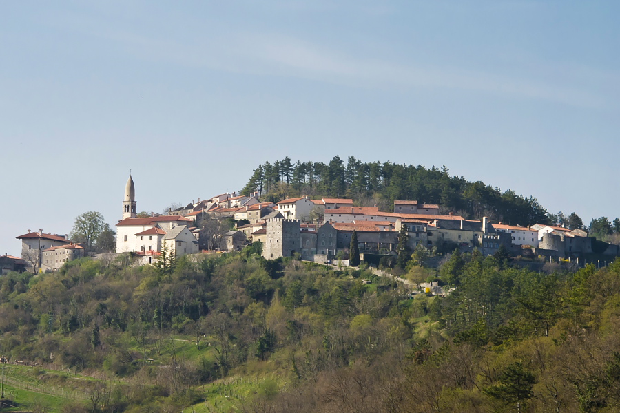
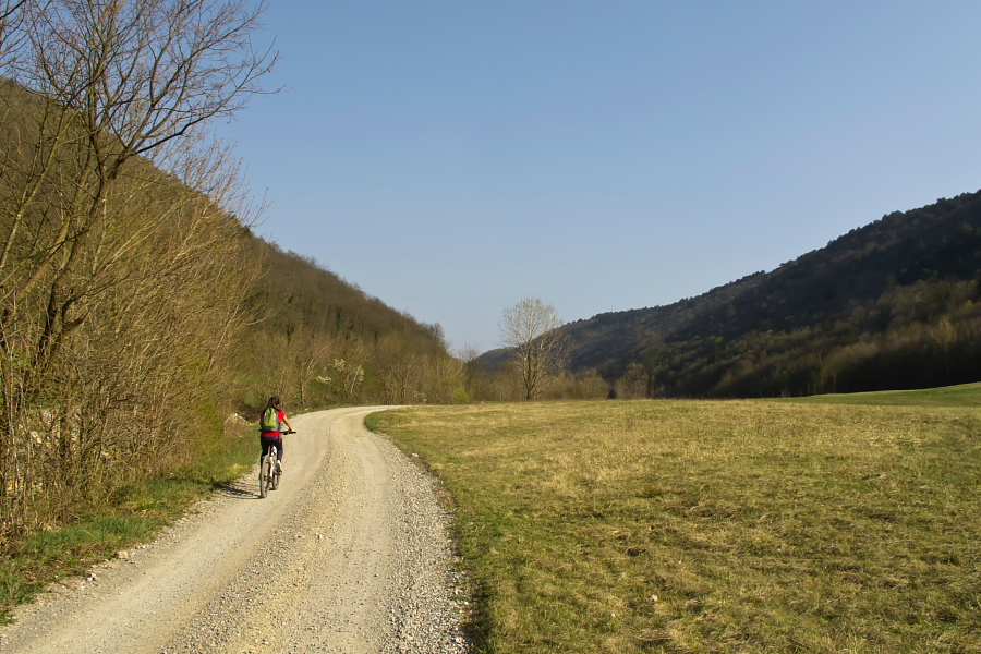
Štanjel is a lovely Karst village winding around a hill, called Turn. Narrow alleys, stone houses and wells, a church, Štanjel castle and the Ferrari garden are a pleasant addition to this trip. You can circle Štanjel along the Fabiani trail (see tourist boards) and carry on from the Ferrari garden back towards Kobdilj and on to the bridge over Raša. Go on the dirt road here and simply follow the pretty and rather lonely valley. Later you come to an asphalt section and continue on a dirt road behind Mahniči hamlet again. When the road through the valley comes to an end you will merge with a wider asphalt road. Turn right there and ascend to Majcni village. Turn left onto a cart road just behind the village. Go left on the first crossroad and ascend slightly towards north-east. After about a kilometer you merge with a somewhat wider forest road and proceed straight on. Before long this path turns sharply towards south-east and it ascends just below Selivec summit throughout. You ascend to around 600 altitude meters through a lovely pine forest. A descent to the main asphalt road comes after that and only about one kilometer parts you from the starting point from there.
Highest point:
The tour has no 'classic highest point'. At a few points the road almost reaches the altitude of 600 m.
Length (duration, km):
Parking - Štanjel (across Vipavska Brda): 1.45 h (24.5 km)
Štanjel - Parking (along river Raša valley): 1.45 h (21.5 km)
Total: 3.30 h, 46 km
Type of trail:
66% asphalt (30 km)
23% dirt road (11 km)
11% tractor road (5 km)
