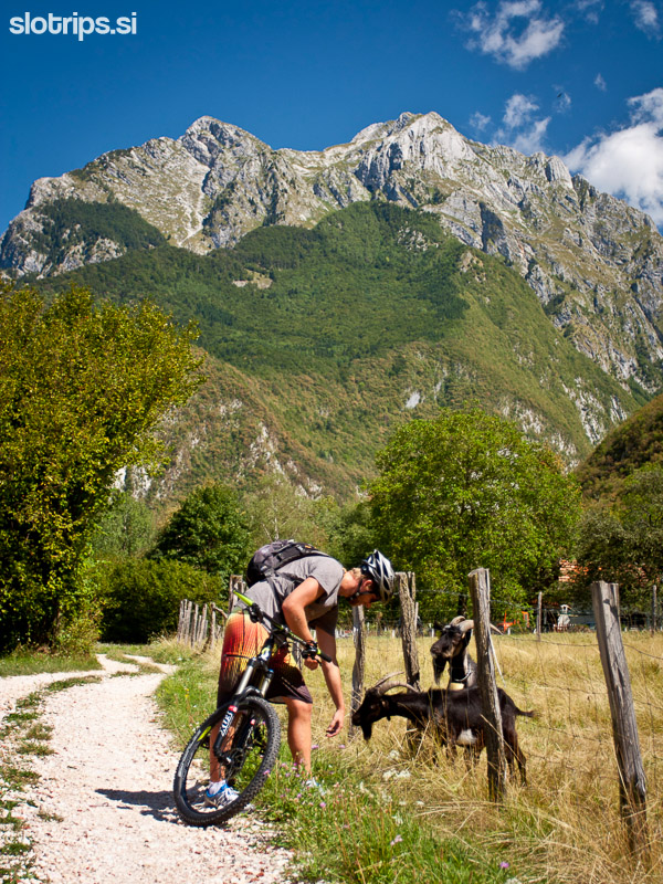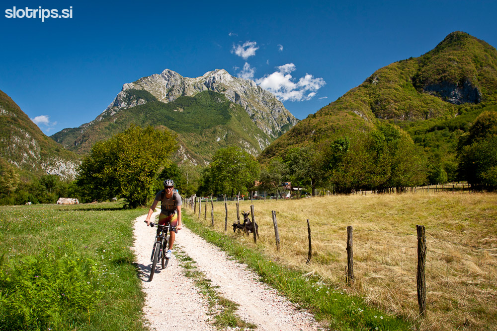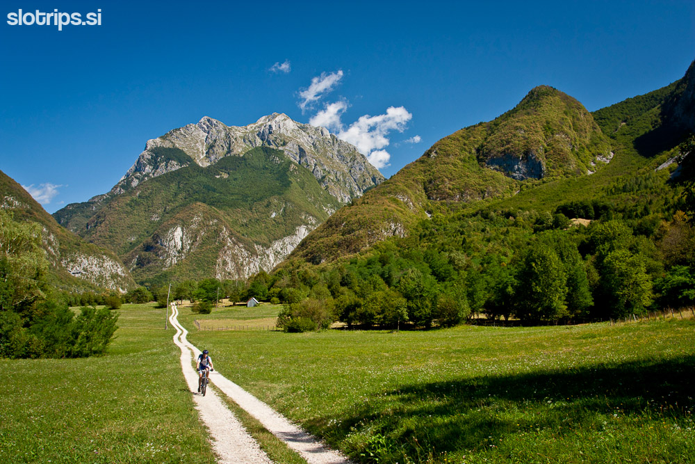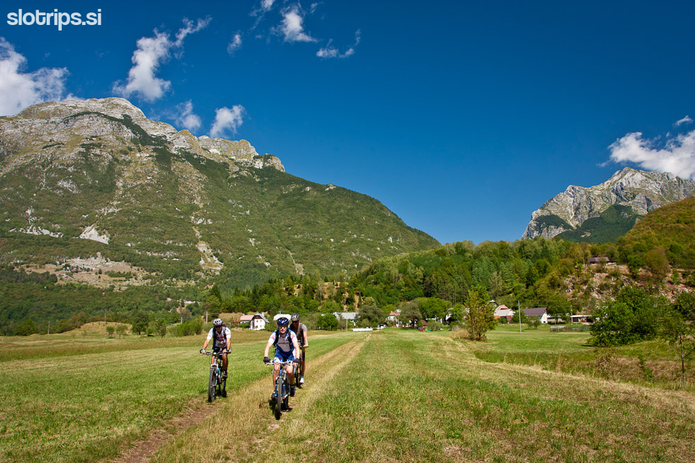


| asphalt, dirt road, trail | ||
Starting point:
Start the tour in the center of Bovec. There is a large parking lot near Merkator supermarket.
Description:
The following description combines biking routes 1, 2 and 3 marked on the tourist map of Bovec. You can buy the map in the tourist information office in the center of Bovec.
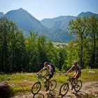
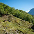
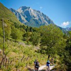
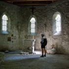
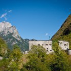
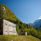
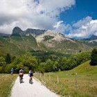
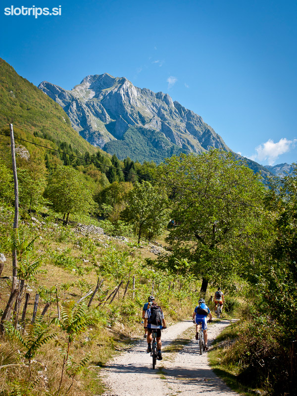
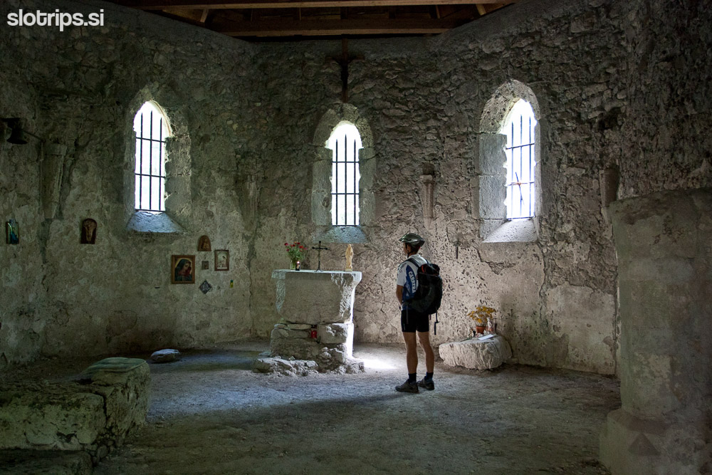
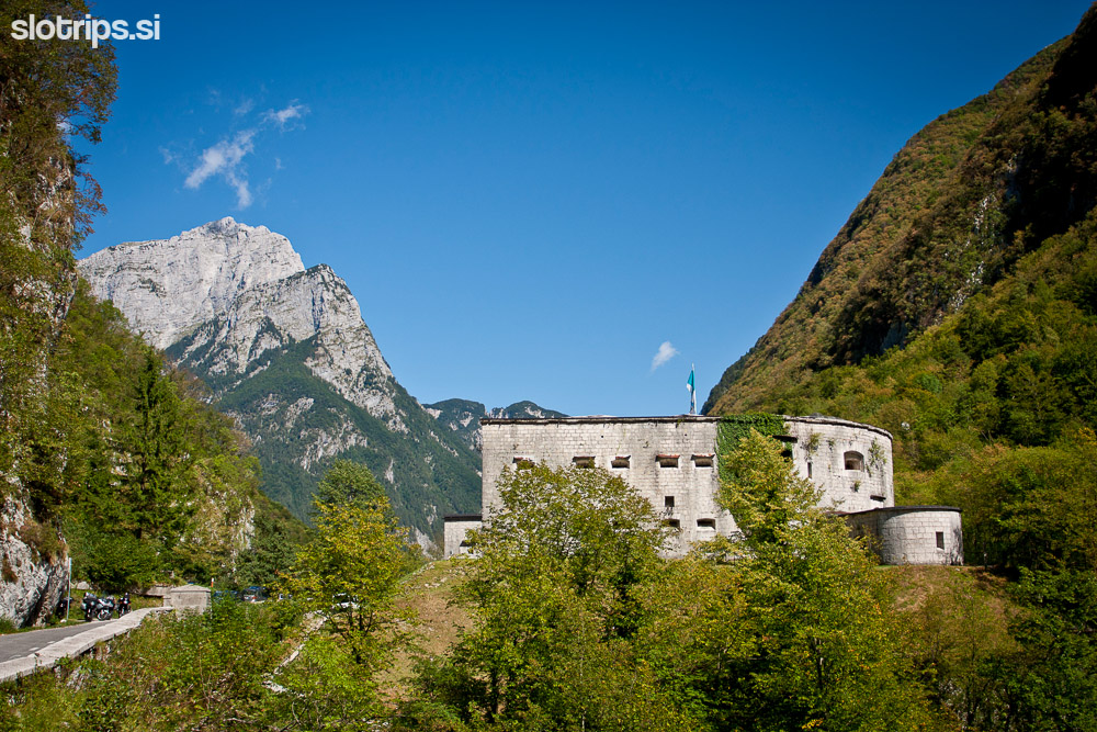
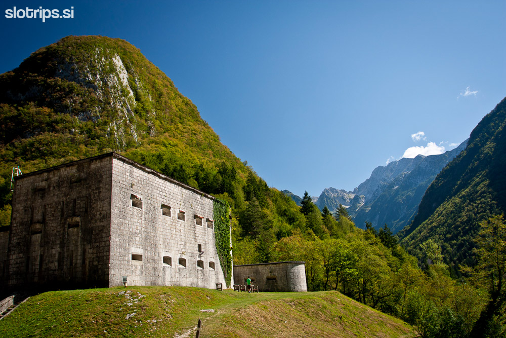
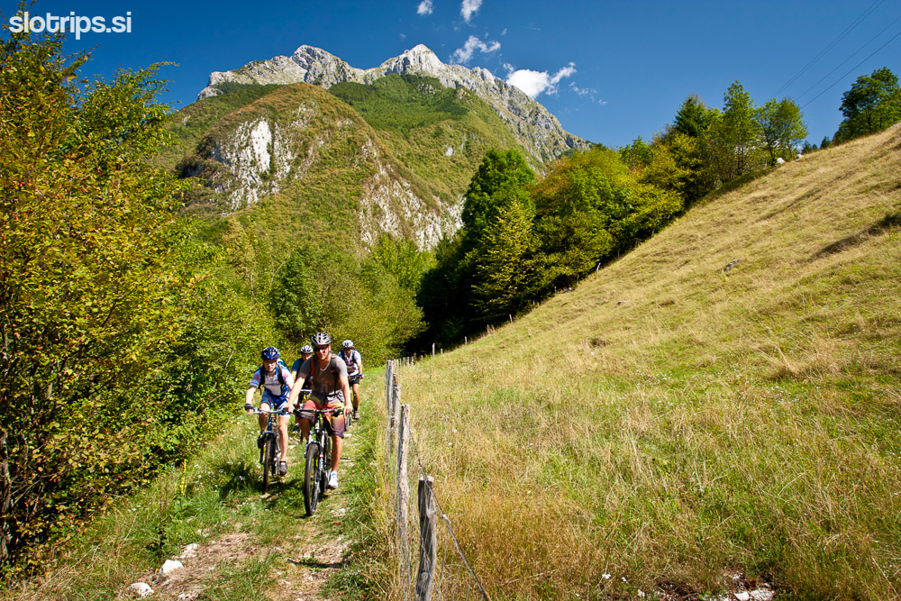
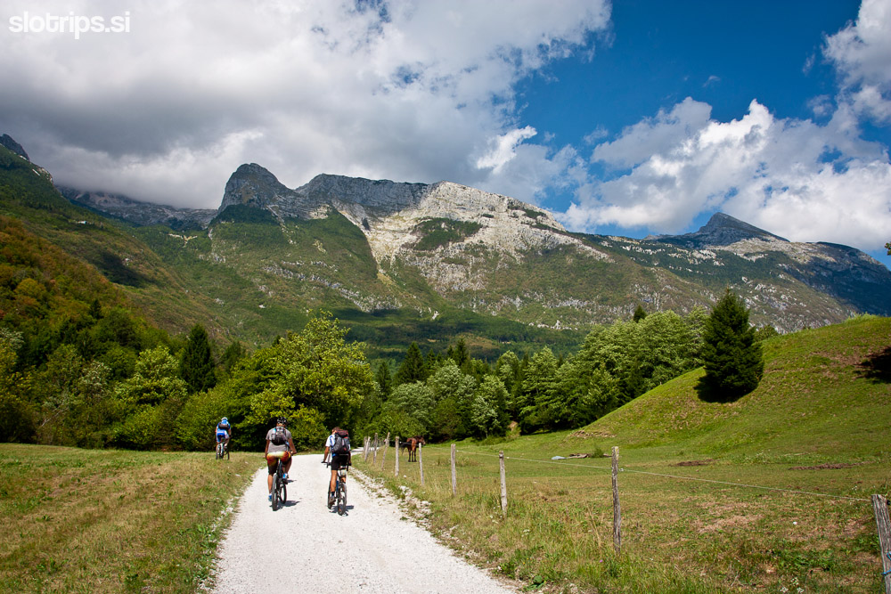
From the center of Bovec go uphill towards the church (signpost 'Kaninska vas') and turn right just before the church. Soon you'll reach a dirt road that takes you across the southern foothills of Mt. Rombon in the direction of the Kluže fortress. There are quite a few crossroads on the way: just keep biking in the same direction and follow the markings on wooden poles (route 'B4b' or 'Kluže' or 'Sv. Lenart'). In the middle of the forest, you'll be surprised by an old stone church of Saint Lenart. Proceed straight ahead and soon you'll reach the main road from Bovec to Kluže fortress. Turn left on the asphalt road and in no time you'll be at the Kluže fortress, high above the deep gorge of Koritnica river.
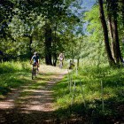
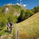
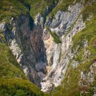
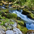
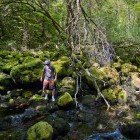
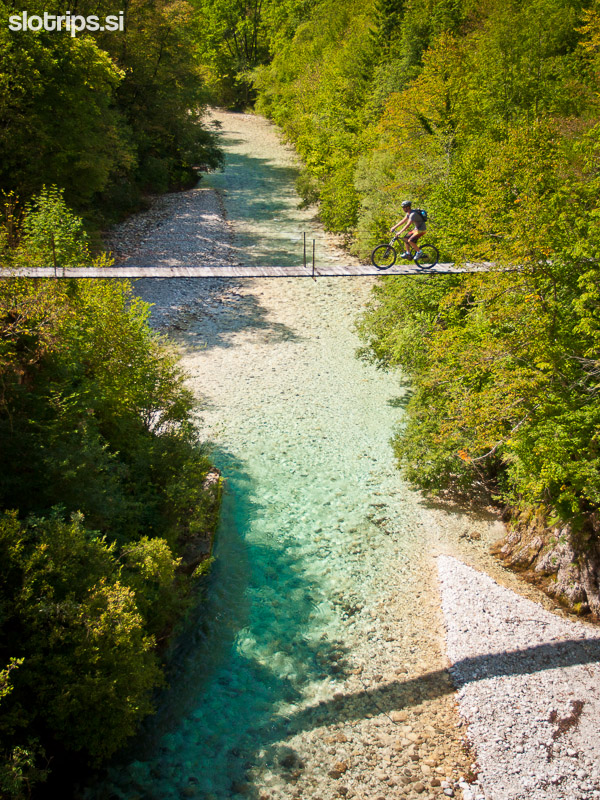
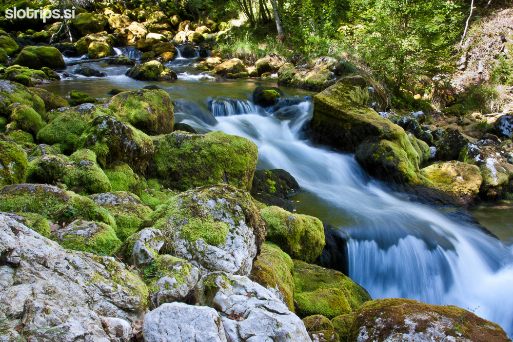
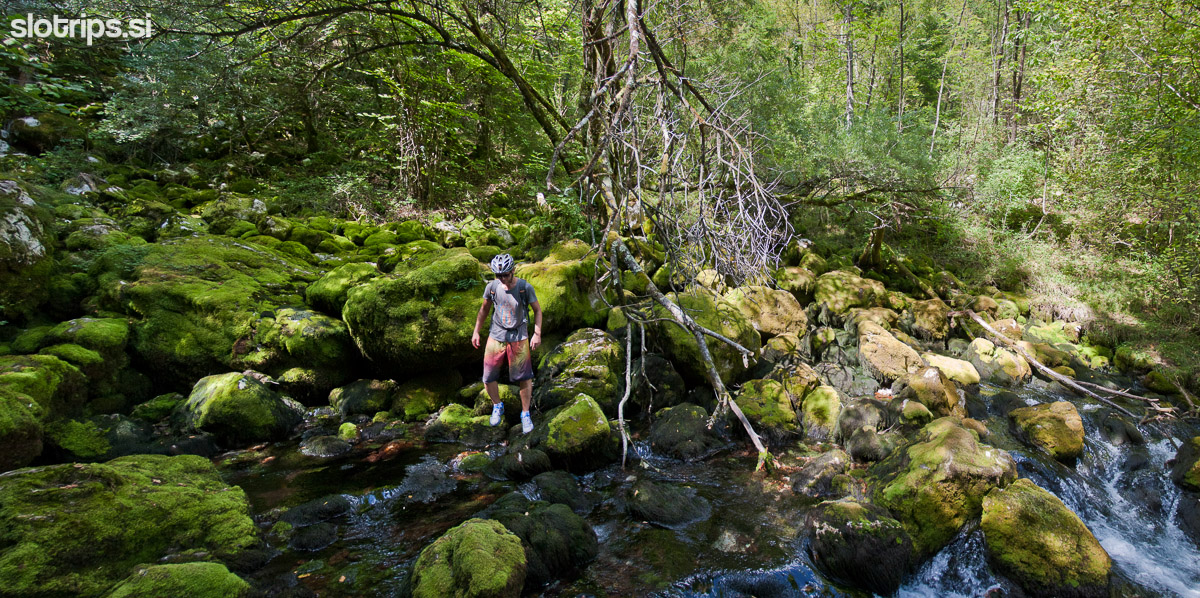
Take a look at the fort, peek into the 60 meter deep drops of Koritnica gorge and continue the way towards Bavšica valley just after the bridge. After a few 100 m turn right to a dirt road. Follow the markings for Bovec and descend to the beautiful šumnik creek. Cross the little bridge and continue to the right where the hiking trail begins. At first you'll have to walk a bit and then bike slowly watching out for possible encounters with hikers. Once you come out of the forest turn left on the ascending dirt road towards the village of Kal-Koritnica. A fabulous road takes you directly into Kal-Koritnica village, where you'll descend to the main 'Bovec - Trenta' road. Cross the asphalt road, turn right for a few meters and continue along a grassy dirt track across the meadow towards Soča river. Follow the wooden poles with a marking 'B5' and descend down a fun path to the footbridge across the Soča river (drive slowly and watch out for hikers!!!).
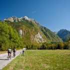
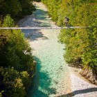
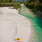
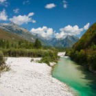
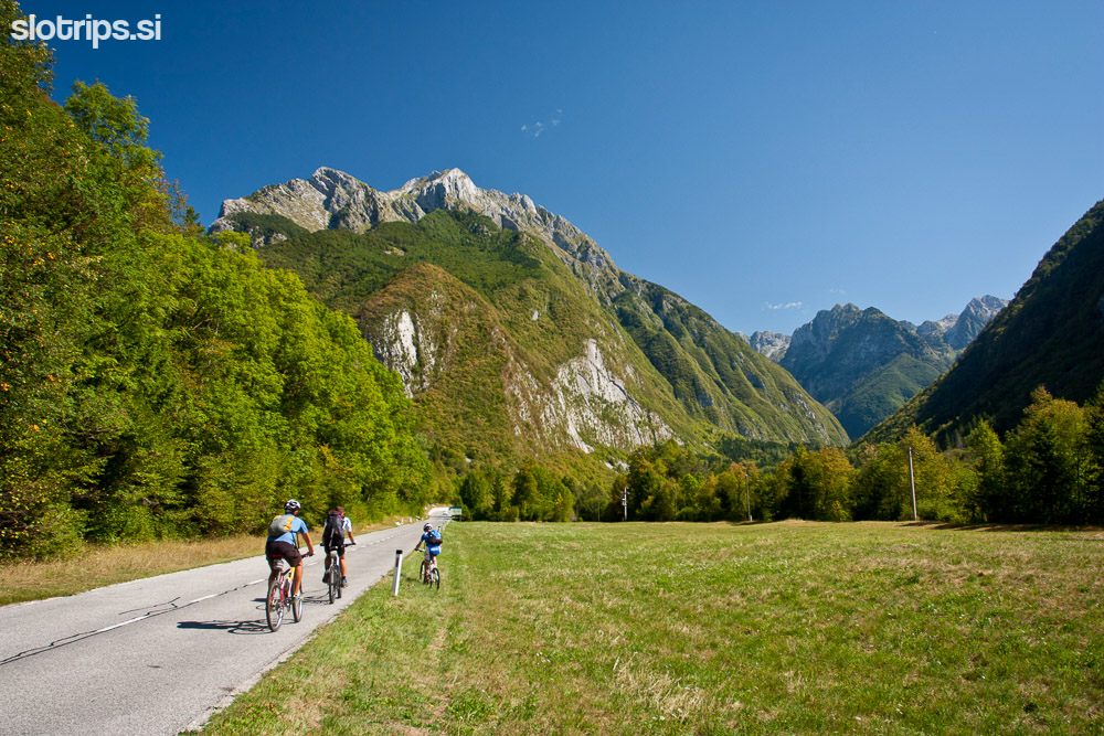
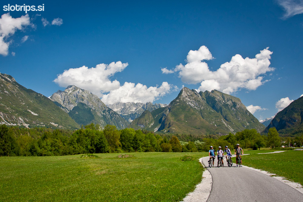
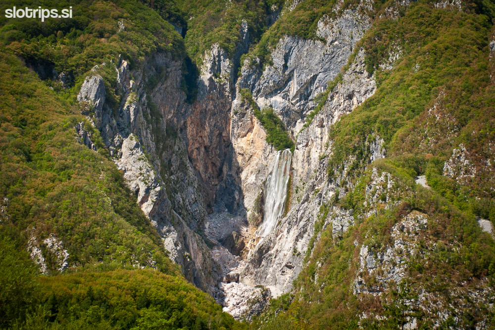
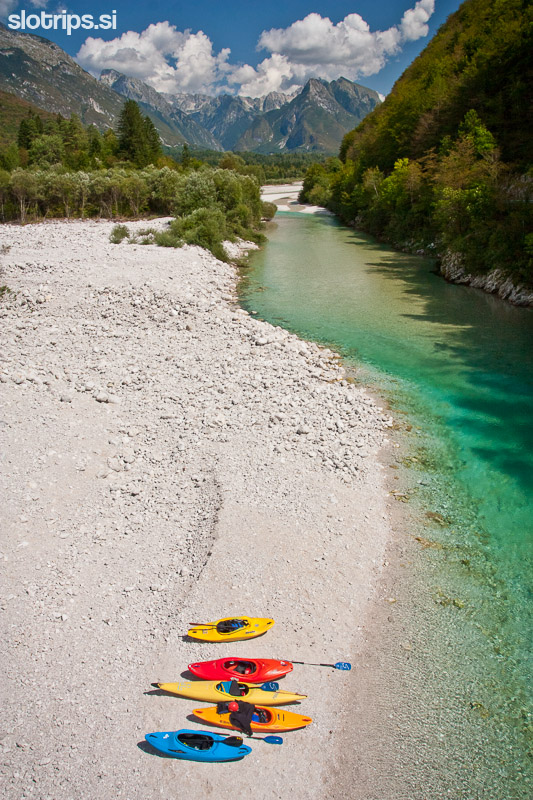
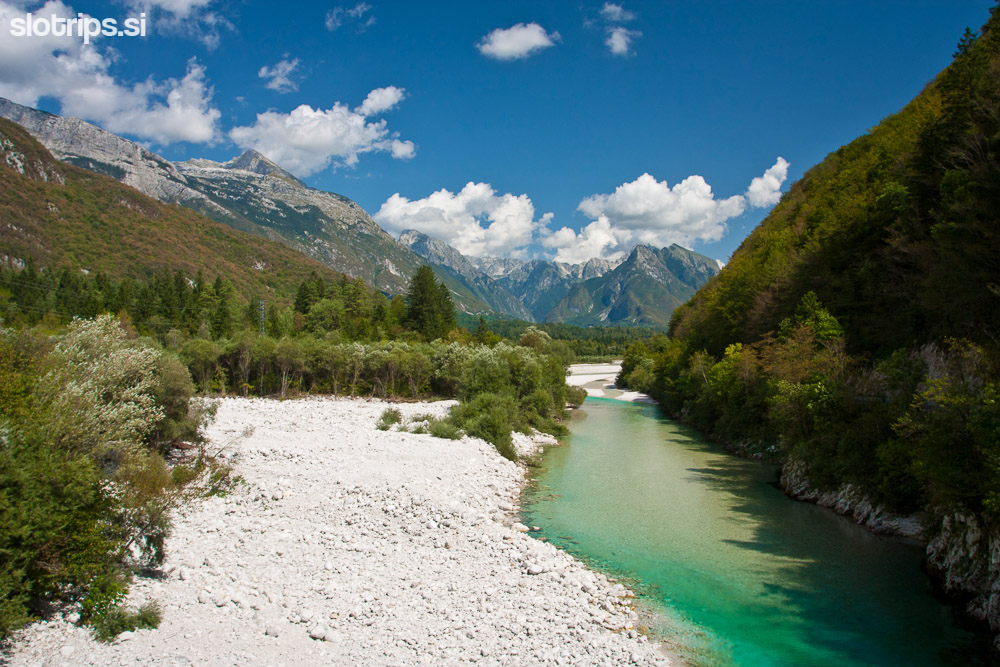
After you cross the river you'll have to walk again for a few meters. Climb up to the asphalt road on which you continue to the right (direction Čezsoča). The easier part of the tour starts here. A flat asphalt road will take you to the village of Čezsoča from where you continue on a little busy road on the left bank of Soča river. Some 4 kilometers later you'll reach the next village (Log Čezsoški) where you'll cross the Slovenian emerald beauty and head for the main road (right) that takes you back in the direction of Bovec. Just a few 100 meters later you'll come to the bridge crossing Boka creek with a magnificent view of the most majestic Slovenian waterfall.
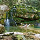
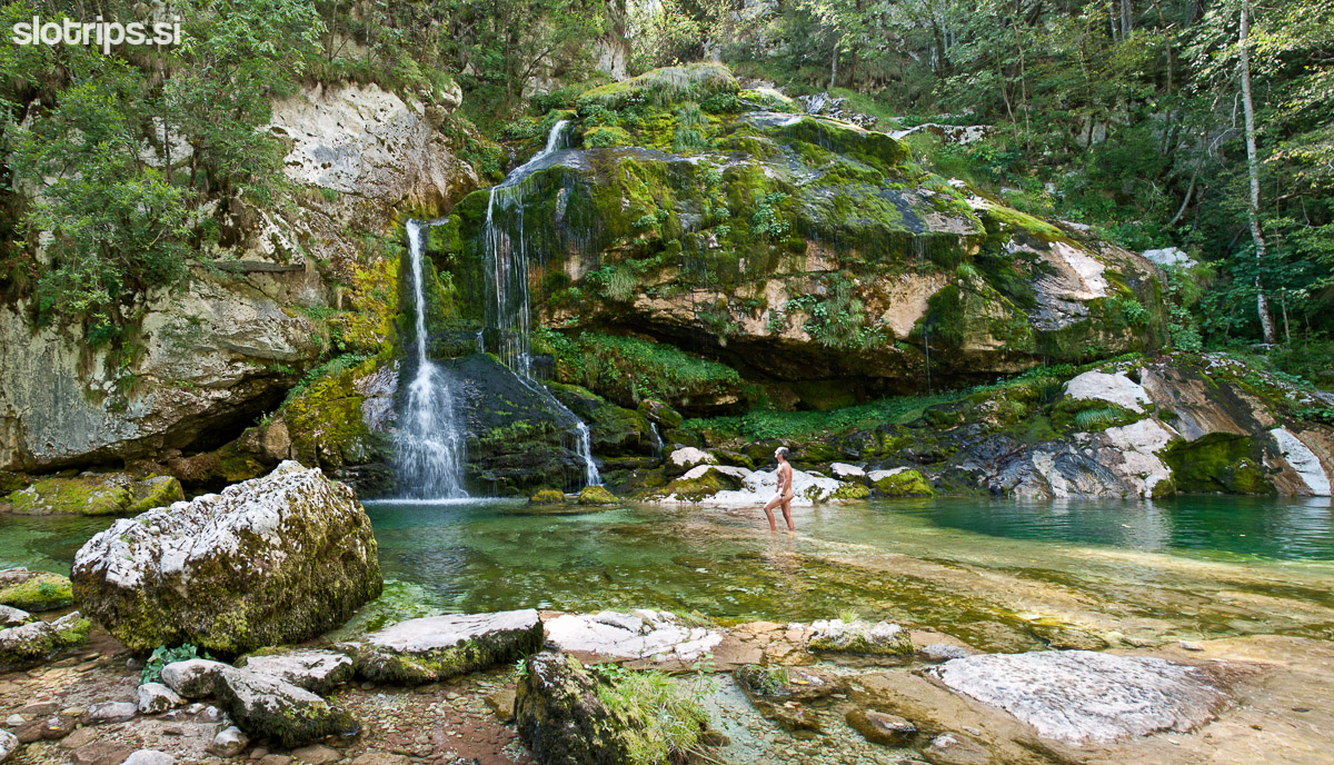
Follow the main road to Bovec for a good two kilometers and then turn left for Golf club Bovec. Back on the dirt road, drive by the golf club and take a left turn on the next junction (direction Plužna). There's another crossroad right after: the left path is very steep and leads directly to the artificial lake near the source of Gljun (you'll have to walk a bit); while the right one goes to the village of Plužna. From Plužna you can visit the source of Gljun creek and the Virje waterfall more easily. From Plužna there's a short asphalt climb towards the east and a rapid descent back to the center of Bovec.
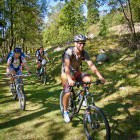
Warning: A part of the descent runs along a singletrail (foot-path). Ride slowly, use your front brakes and don't leave any trails with your rear wheel. Move from the path if you meet hikers. A warm 'hello' and a smile is very welcome.
Highest point:
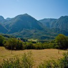
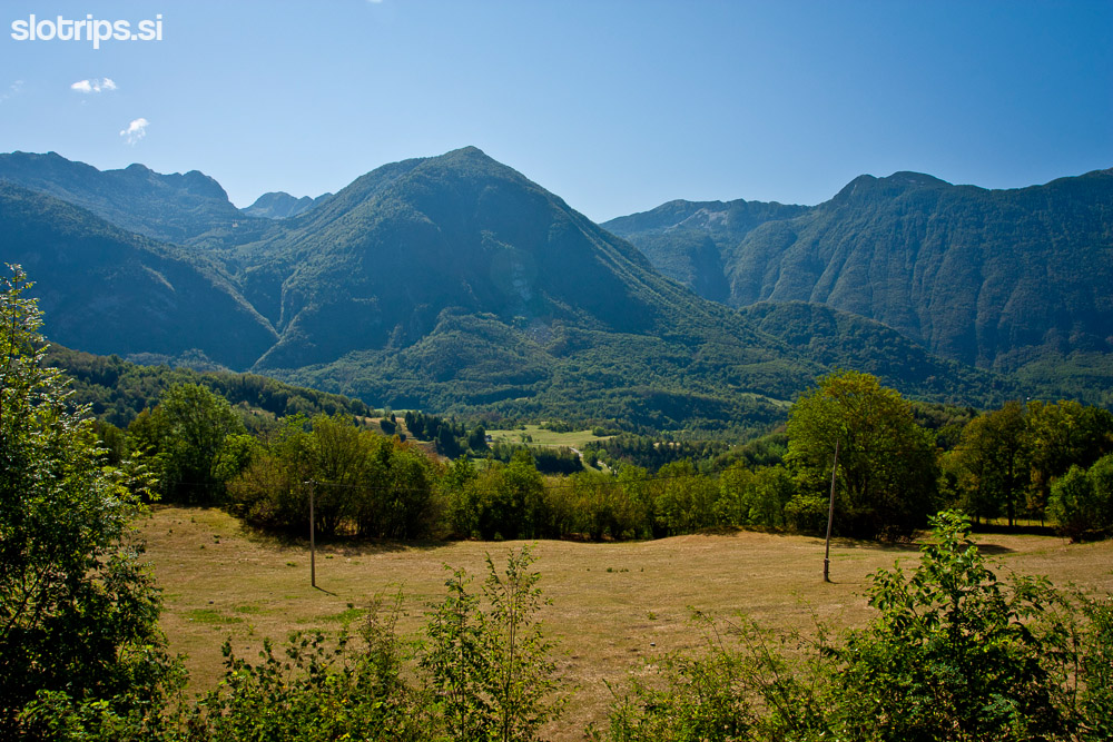
The meadows above Bovec: ca. 600 m
Length (duration, km):
Bovec - Kluže - Čezsoča: 2 h (16 km)
Čezsoča - Plužna - Bovec: 1 h (15 km)
Total: 3 h, 31 km
Type of trail:
52% asphalt (16 km)
40% dirt road (12.5 km)
8% singletrail (2.5 km)
