

| asphalt, dirt road, trail | ||
Starting point:
Kobarid or Tolmin. Our description starts in Kobarid.
Description:
Head towards Drežnica from the center of Kobarid and descend down to the Napoleon Bridge. Cross Soča River and go right on a low traffic asphalt road on its left bank. After about 15 kilometers (behind Dolje village) turn left at a ‘V’ crossroad and you come to Zatolmin soon. At the main crossroad in Zatolmin turn perpendicularly to the left into a steep hill between the houses. Ascend through the village and pay attention to a small signpost for ‘Planina Pretovc’. Asking the locals for directions is an even better option.
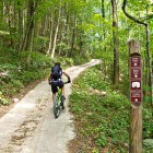
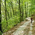
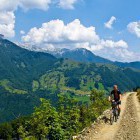
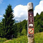
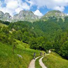
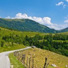
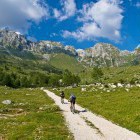
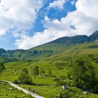
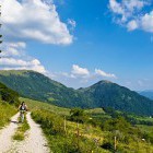
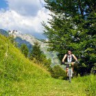
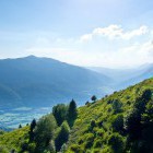
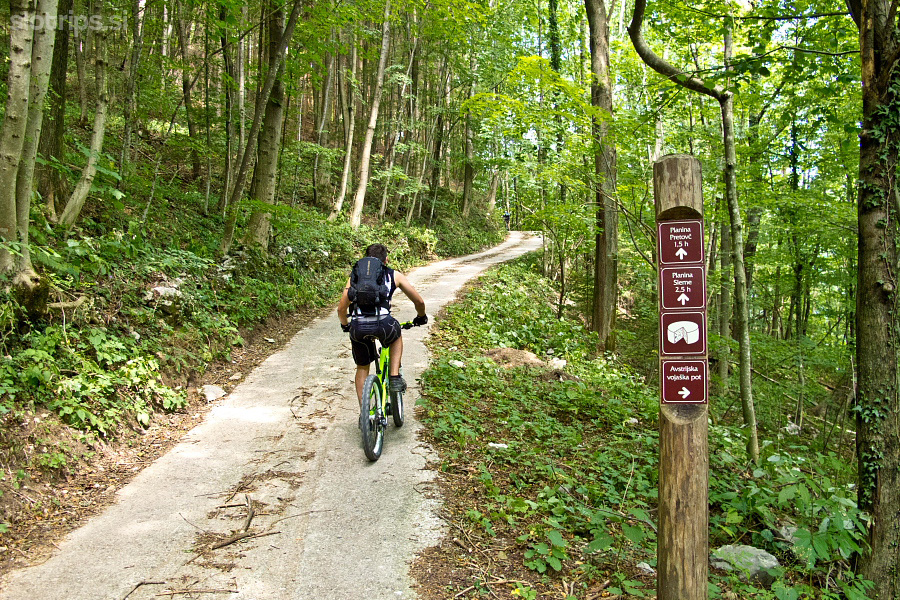
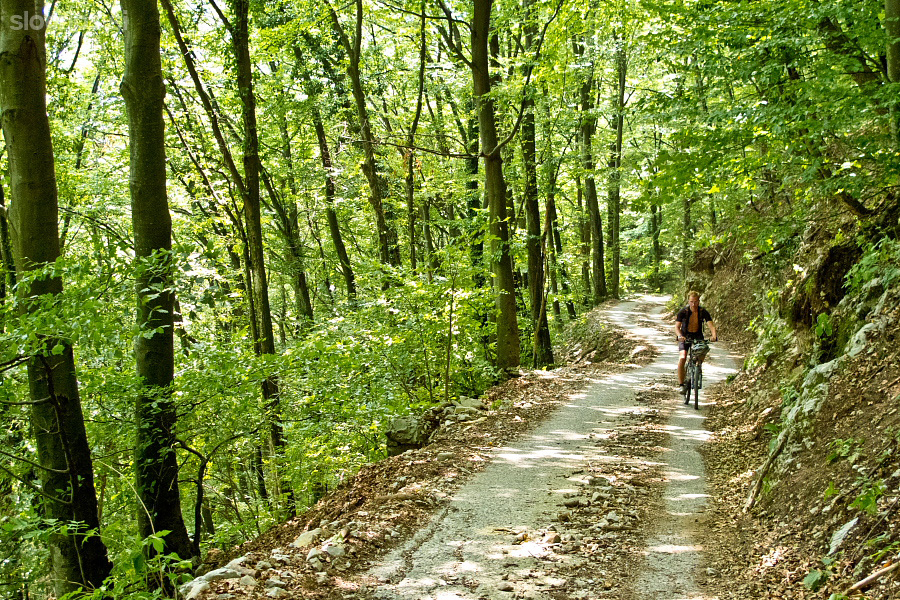
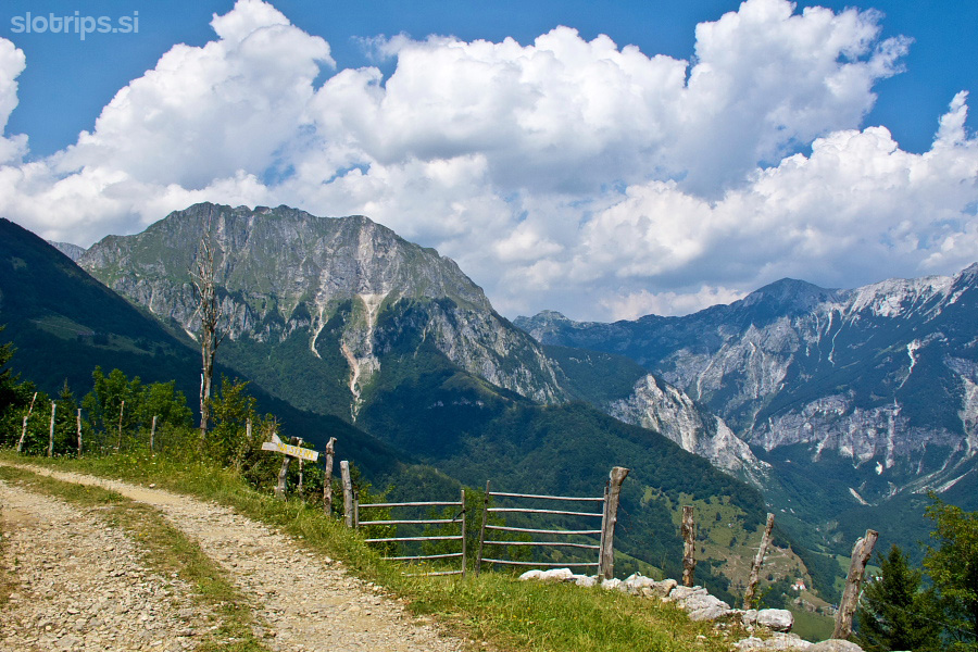
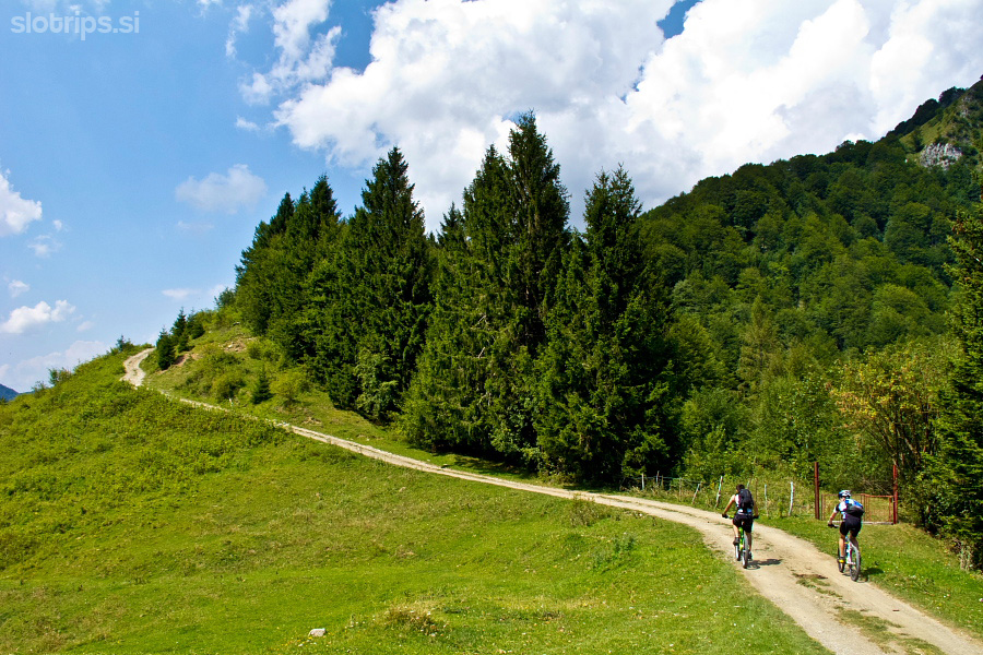
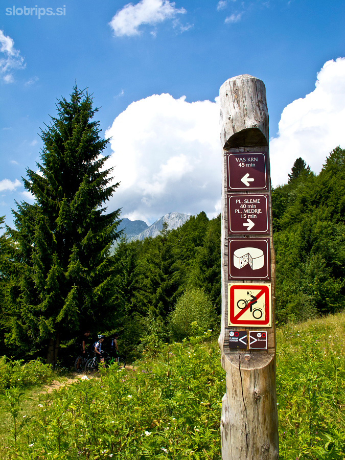
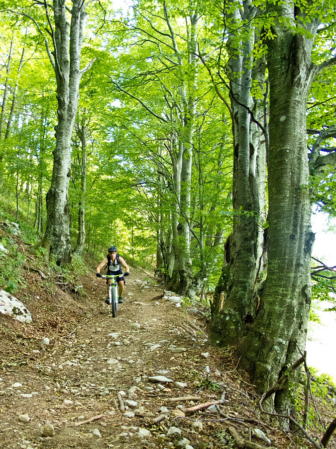
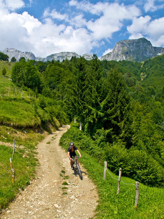
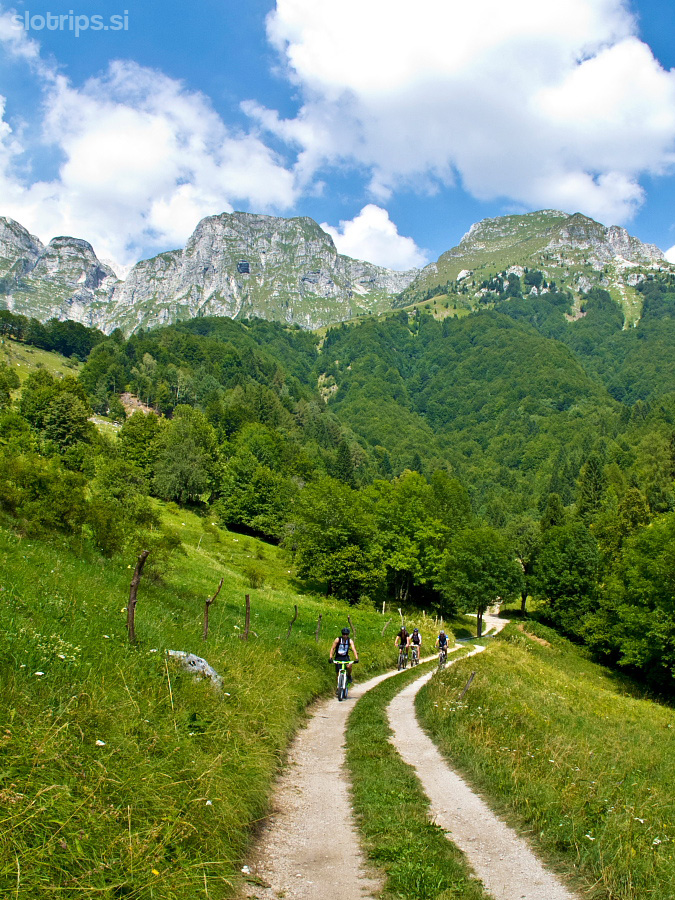
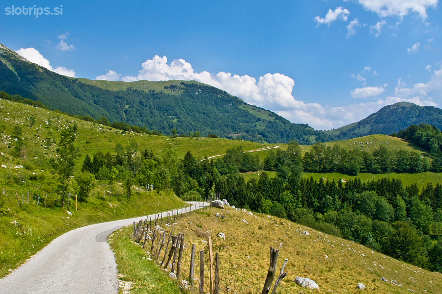
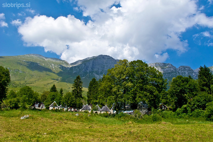
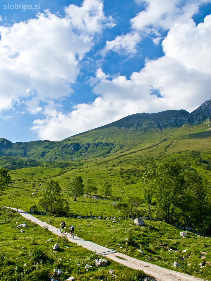
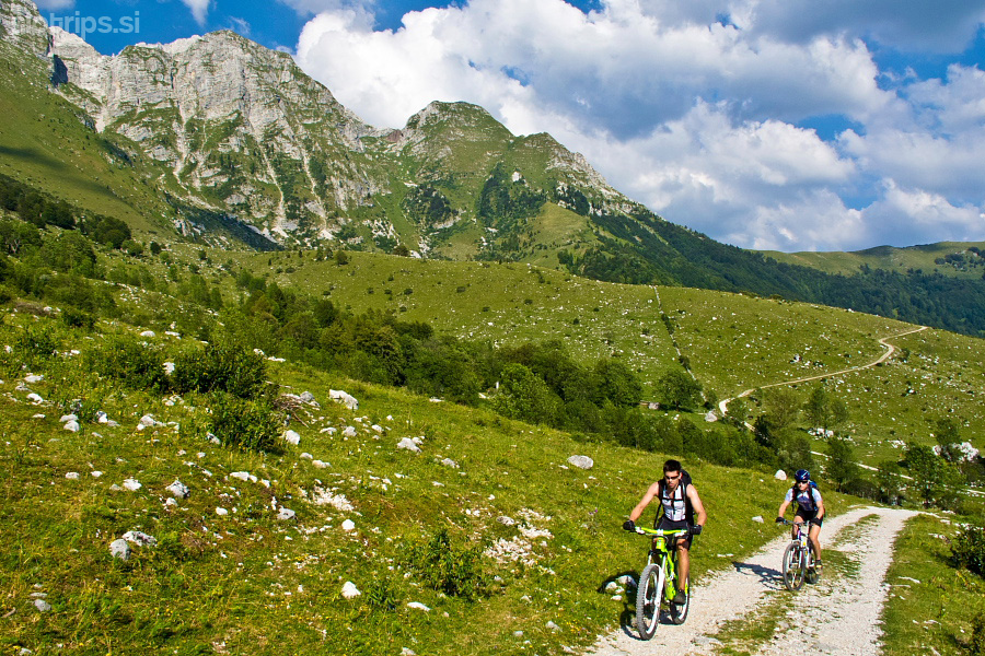
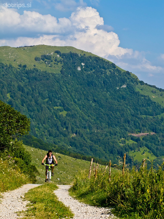
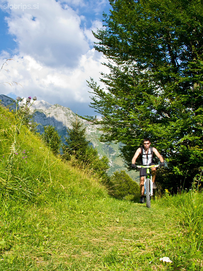
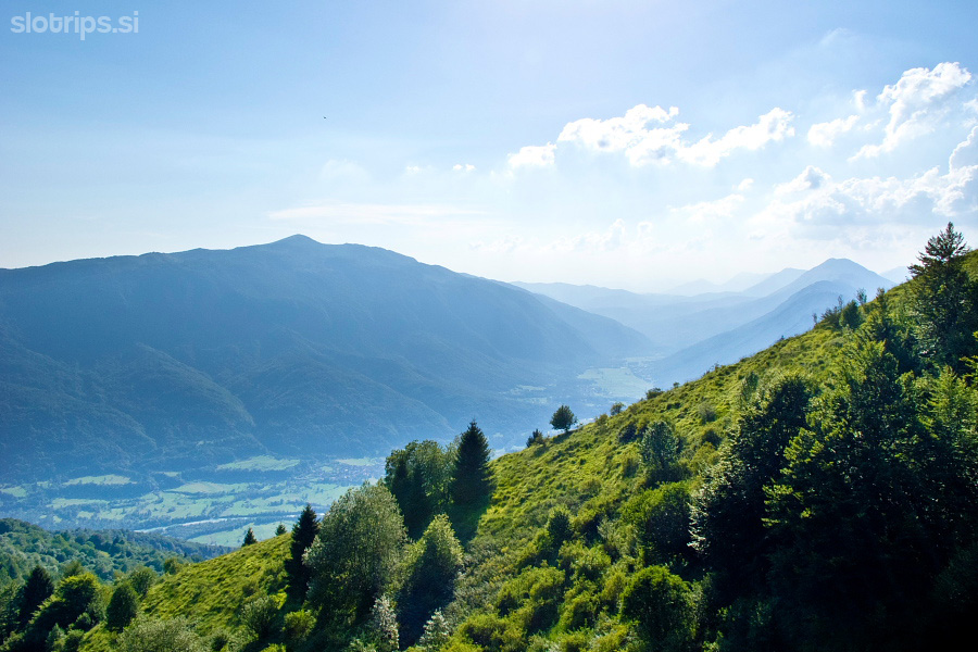
An asphalt road (with no traffic at all) ascends mercilessly in the shade of the woods. Ascent is really steep, offers little places for rest and gravel replaces asphalt a bit higher. A lovely view on the mountains above Tolmin opens once you reach the first meadows. Continue ascending to Pretovč meadow where you are just one short & steep slope away from the ‘liberating’ signpost pointing to Krn village (on a wooden stake). The descent finally begins.
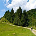
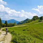
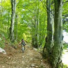
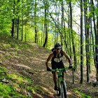
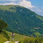
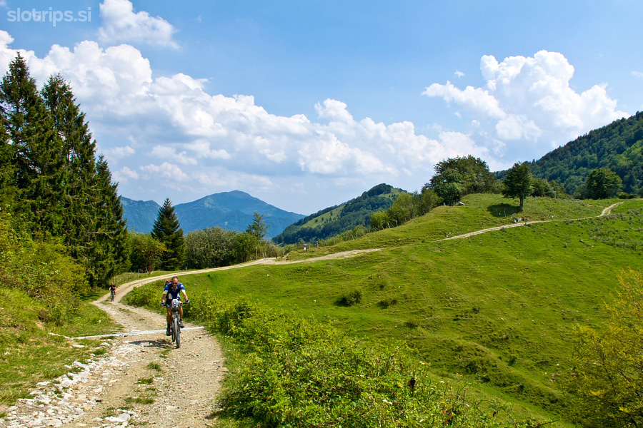
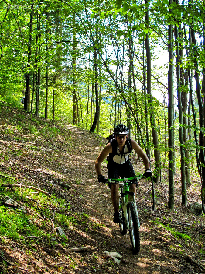
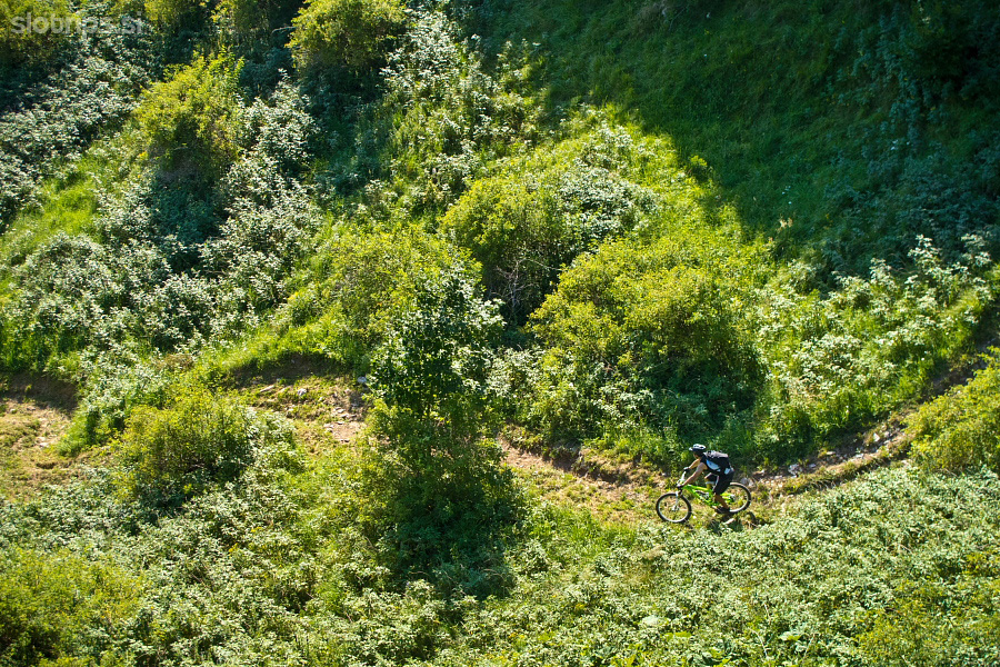
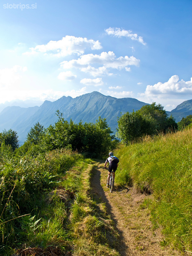
Descend along a gorgeous narrow path that later transforms into a wider forest road and leads you to Krn village quite quickly. If you are tired already, simply turn left in Krn village and a looooong asphalt descent takes you practically into Kobarid. However, I do not recommend this option :)
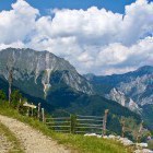
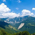
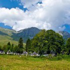
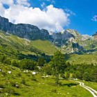
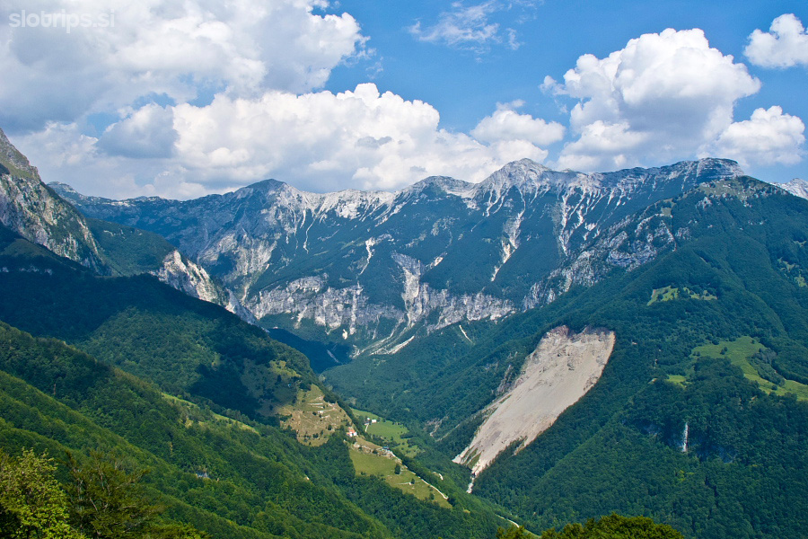
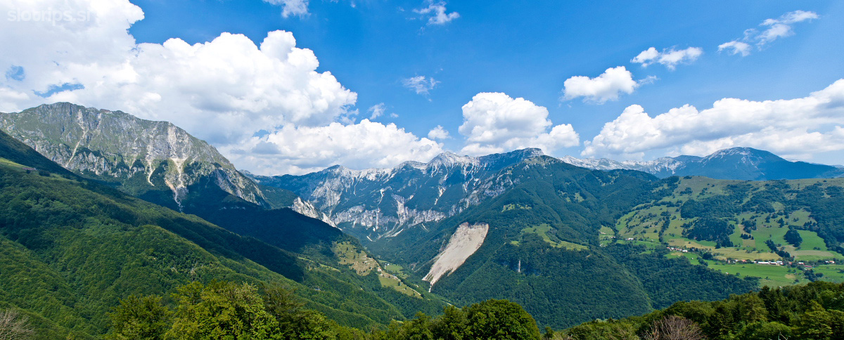
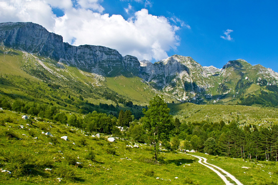
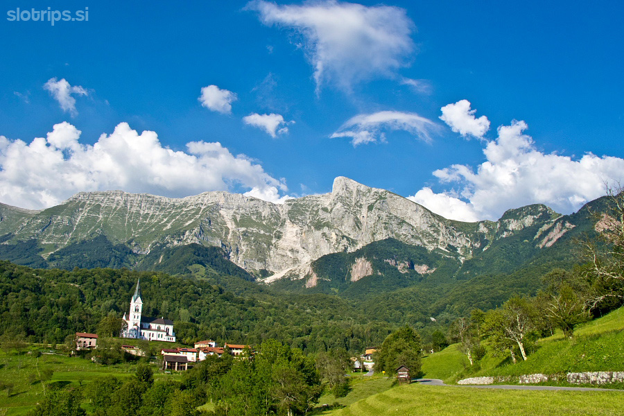
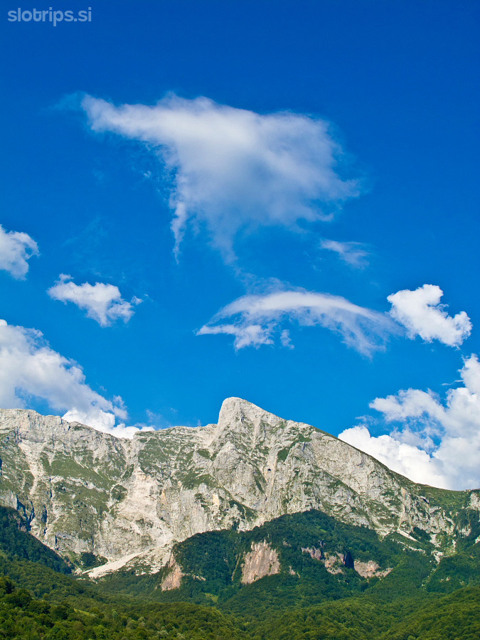
It would be a shame not to go at least until Kuhinja alpine meadow and get the well-deserved lunch. Turn right in Krn village and ascend to the cottage at Kuhinja meadow on an asphalt and later a dirt road (all crossroads are marked). An astonishing view on Mt. Krn and its neighbors, where the toughest battles of the Soča front were taking place, awaits you there. The cottage is wonderful, the caretakers extremely nice and the food more than delicious – especially after such an exhausting ascent.
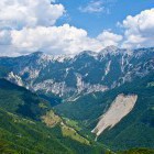
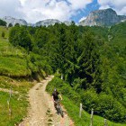
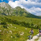
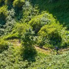
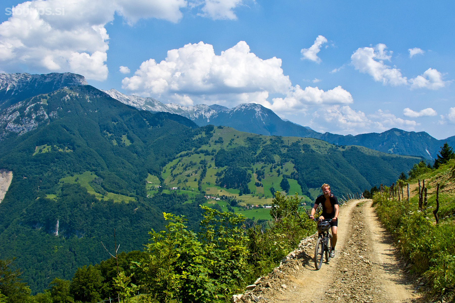
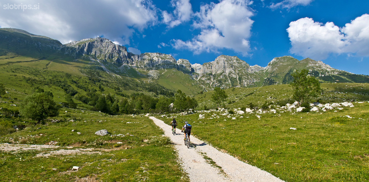
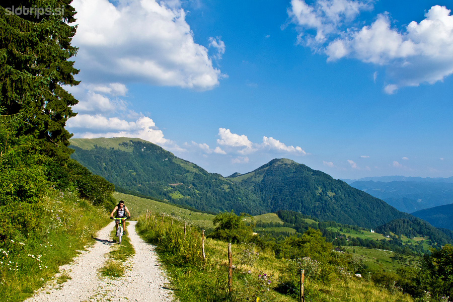
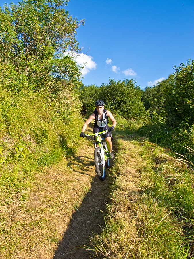
Return back a few hundred meters from the cottage to a gate and the parking lot, take a sharp left turn and continue ascending. A pleasant dirt road winds up the south slope of Krn towards west (direction Zaslap alpine meadow). At a hair-pin turn (around 1150 altitude meters), go straight on a wide path. Follow the marked path called ‘Walk of peace’, which can be difficult to negotiate in some parts and you might have to push your bike on a few short sections. Before long, you come to a saddle. A small Italian chapel hides just beneath it and offers a stunning view on Soča valley. The real MTB descent starts from here on. Go right at the first split and then simply follow the fantastic path that winds towards Koseč village.
You reach Koseč screaming with pleasure and the asphalt road that takes you to Drežnica village starts there. Turn towards Kobarid and if you still haven’t got enough of the singletrails, turn left onto a clear dirt road a few hundred meters after Drežnica village. It runs above the gorges of Ročica stream and leads to the ‘Kobarid – Tolmin’ asphalt road (on the left bank of Soča River). Turn right there and Kobarid is only a stone’s throw away.
Warning: A part of the descent runs along a singletrail (foot-path). Ride slowly, use your front brakes and don't leave any trails with your rear wheel. Move from the path if you meet hikers. A warm 'hello' and a smile is very welcome.
A tip: If you want to discover the best and hidden MTB singletrails in the Soča valley - JOIN OUR MOUNTAIN BIKE TOUR!
Highest point:
Saddle above Kuhinja alpine meadow: ca. 1230 m
Length (duration, km):
Kobarid - Zatolmin: 45 min (15 km)
Zatolmin - Pretovč alpine meadow: 2.15 h (8.5 km)
Pretovč alpine meadow - Kuhinja alpine meadow: 30 min (6 km)
Kuhinja alpine meadow - Drežnica - Kobarid: 1.15 (14.5 km)
Total: 5 h, 44 km
Type of trail:
55% asphalt (24 km)
21% dirt road (9,5 km)
24% singletrail (10,5 km)
