

Starting point:
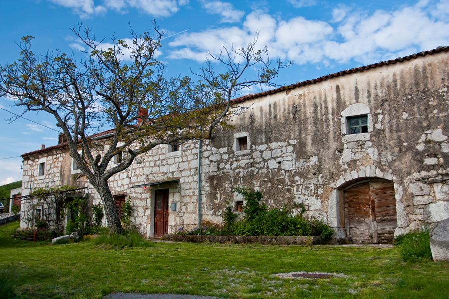
Podgorje village (510 m). Leave the motorway 'Ljubljana – Koper' on exit Kastelec and follow signposts to Podgorje. Once you arrive to the village, turn right just before a sports ground onto a large parking lot, where you leave the car.
Description:
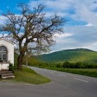
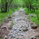
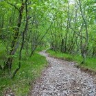
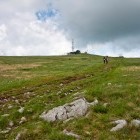
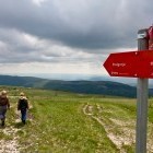
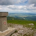
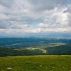
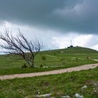
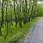
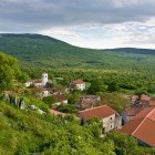
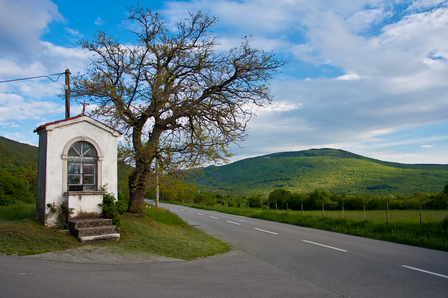
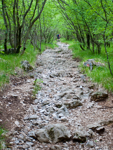
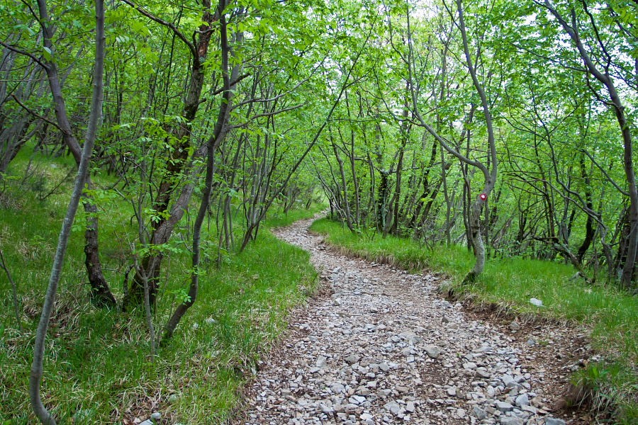
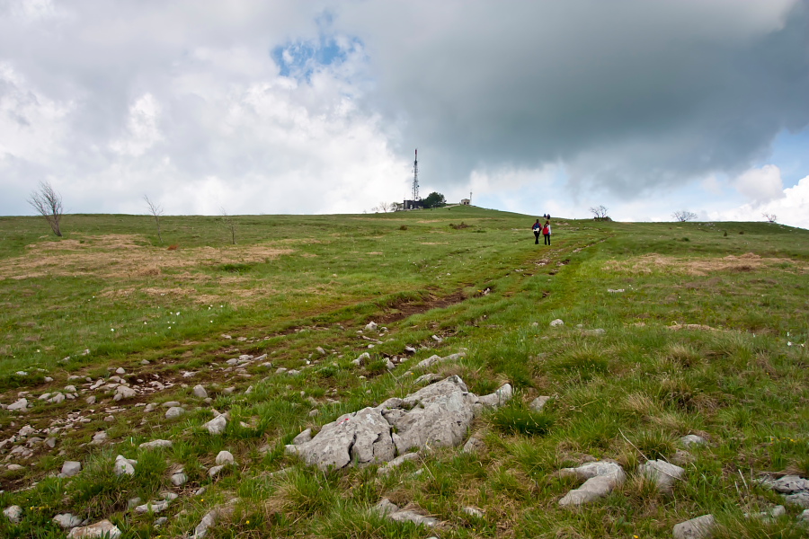
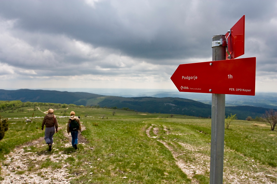
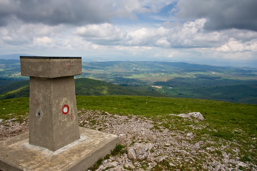
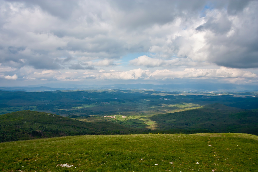
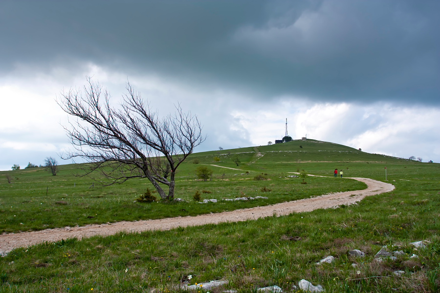
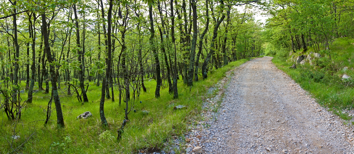
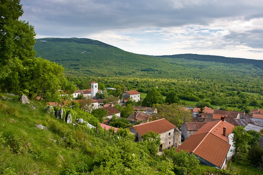
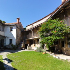
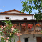
From the above mentioned parking lot in Podgorje go to the main road and continue on it to a small chapel where you turn left into the village. Soon you will notice signposts for a shorter (direct) path or the longer road to Slavnik. The described tour is circular, so choose the shorter one and simply follow the marked path. When you come out of the woods to a bare land, you will soon see the 'Tumova Koča' hut with a transmitter in front of you. This is the summit. Once you have freshened up and soaked up the view, head from the summit southwards on a clear dirt road (slightly to the left from the path of ascent). Follow the dirt road all the way to Podgorje. Right at the end a lovely view on the stretched out Podgorje village takes us by surprise.
Highest point/summit:
Slavnik: 1028 m
Duration:
Podgorje - Slavnik (direct path): 1 h
Slavnik - Podgorje (road): 1 h
Total: 2 h
Difficulty:
1 - The entire route is technically easy.
Type of path: Marked path
