

Starting point:
Leave the motorway 'Ljubljana – Koper' on exit Razdrto. Turn left and follow the signposts for Razdrto. Once you arrive to the village, turn right in the direction of the signpost for Veliko Ubeljsko. Soon you will come to a large parking lot in front of a bridge over the motorway and park there (around 580 m).
Description:
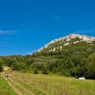
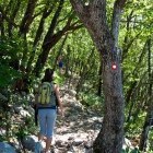
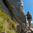
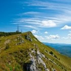
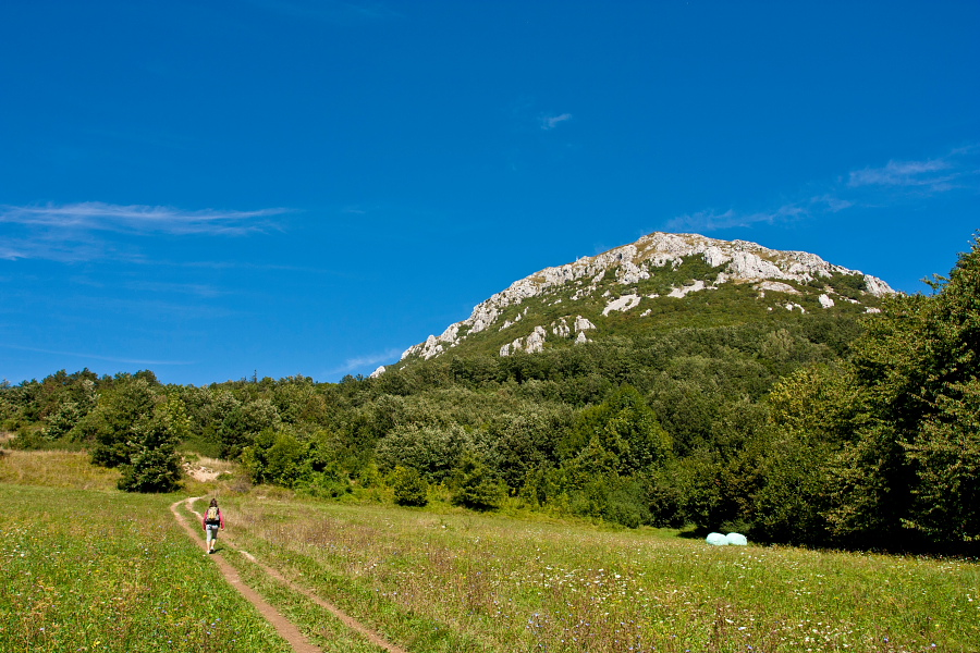
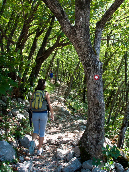
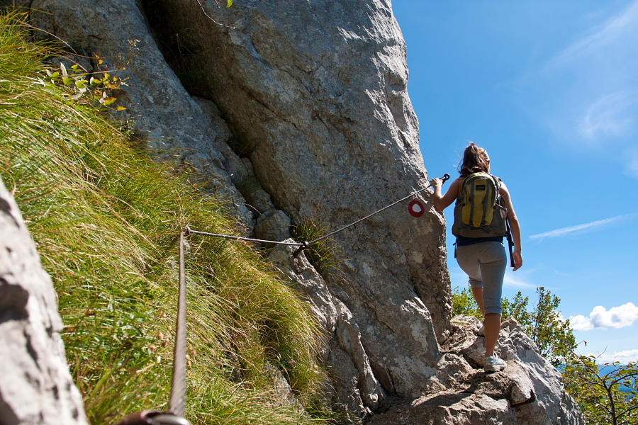
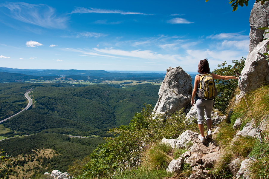
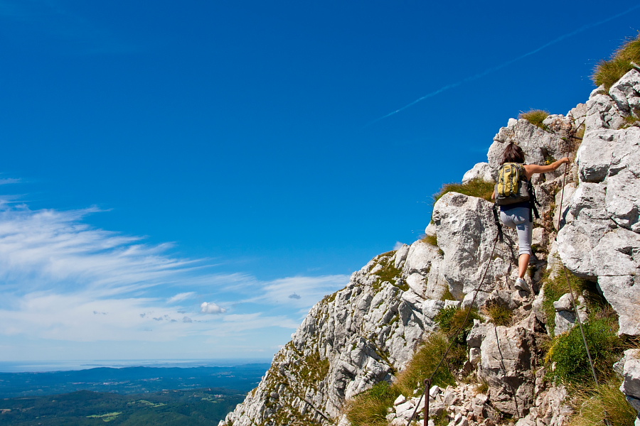
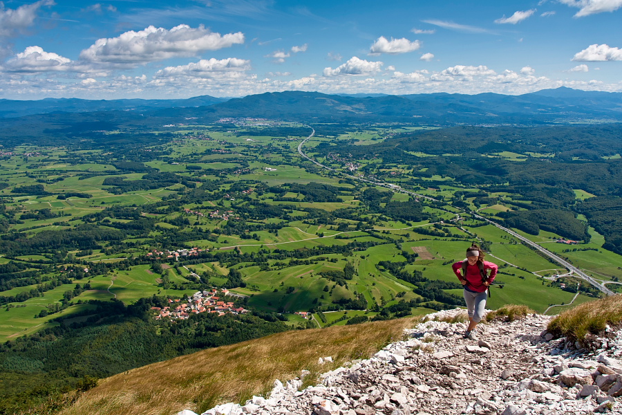
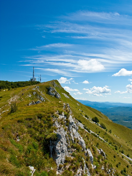
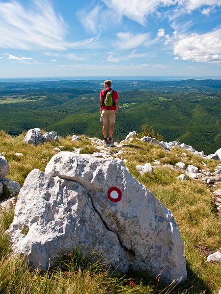
Cross the motorway by the parking lot, where you will notice the first hiking signposts. Turn left and simply follow the markings towards 'Vojkova Koča' hut. At the beginning you will cross a meadow and soon come to the marked path crossroad where you can choose between the 'steep' (= strma) and a 'gentle' (= položna) path. Continue on the steep one (to the right), which ascends through a shady forest at first, but higher up the steepness increases and there are a few passages secured with steel cables. Walk carefully and bring adequate clothing as the place is often windy. The view gets better with every step and you come to the summit across the bare top section. 'Vojkova Koča' hut hides in a forest very near to the transmitting antennas.
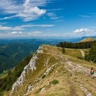
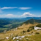
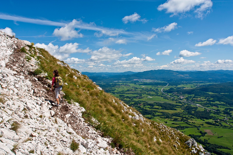
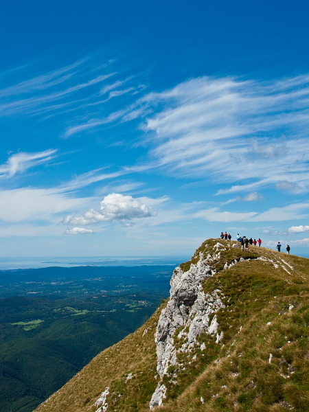
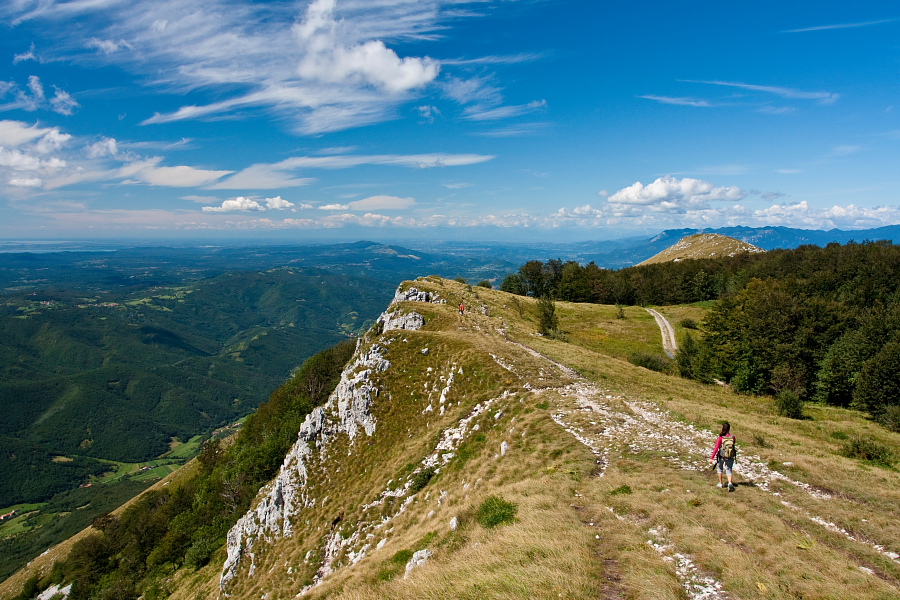
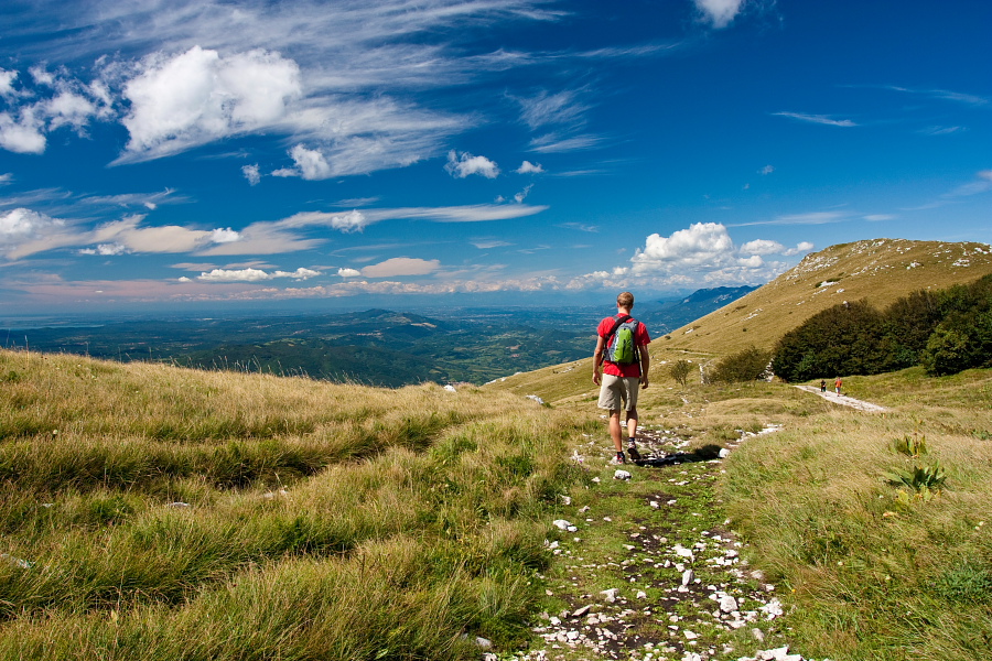
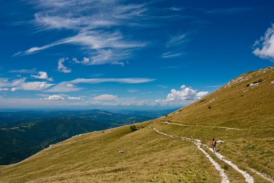
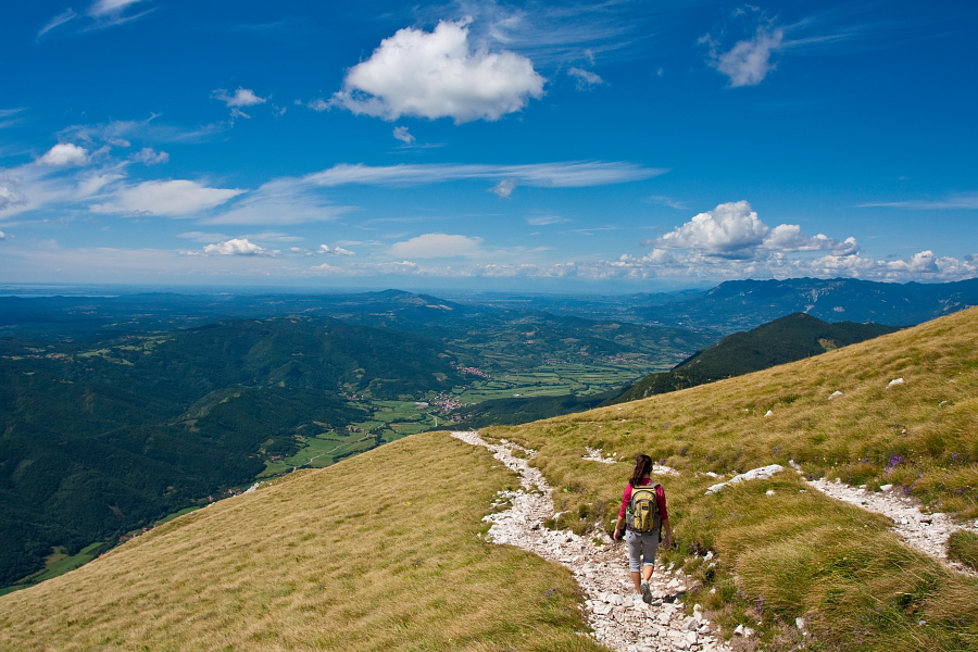
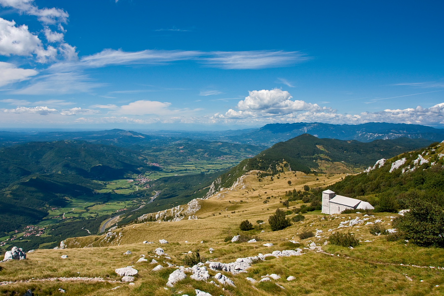
From the summit proceed on a cute gentle path, which runs on a grassy ridge in the direction of Vipava Valley (north-west) and offers splendid views. Just before the church of St. Hieronim a signpost direct you onto a path which crosses the slope back towards Razdrto village. Soon you come into a pleasant forest and return to the starting point along an easy path. Pay attention in the lower part of descent: on an unmarked crossroad in front of a small meadow (around 750 altitude meters) go left!
Highest point/summit:
'Vojkova Koča' hut on Nanos: 1240 m
Duration:
Razdrto - 'Vojkova koča' hut on Nanos (steep path): 1.30 h
'Vojkova koča' hut on Nanos - Razdrto (gentle path, past St. Hieronim church): 1.30 h
Total: 3 h
Difficulty:
3 - The described path of ascent is quite difficult in some places. Although the path is not exposed (except in one short passage), there are some sections that are secured with steel cables and you must use your hands occasionally. Those who suffer from vertigo will not find some sections quite as fun. The whole route of the descent is technically easy.
Type of path: Marked path
