

Starting point:
Črni Kal is a saddle below Blegoš (at around 1110 altitude meters) with a crossroad of five roads. There is quite a lot of parking space at the saddle, but still not enough for all fans of Blegoš on sunny weekends. You can arrive to Črni Kal:
a) From Selška valley: On the road 'Železniki – Most na Soči' turn left towards Davča just before Zali Log village and follow green signposts to Blegoš or Črni Kal.
b) From Poljanska valley: On the road 'Škofja Loka – Žiri' turn right towards Javorje in Poljane village. In Javorje begin following the signposts to Blegoš or (Gorenja) Žetina where the asphalt ends. Continue for about 2 km.
Description:
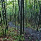
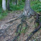
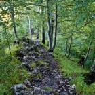
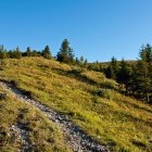
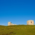
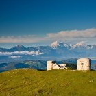
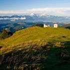
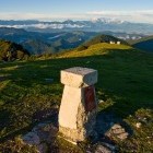
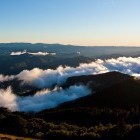
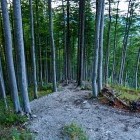
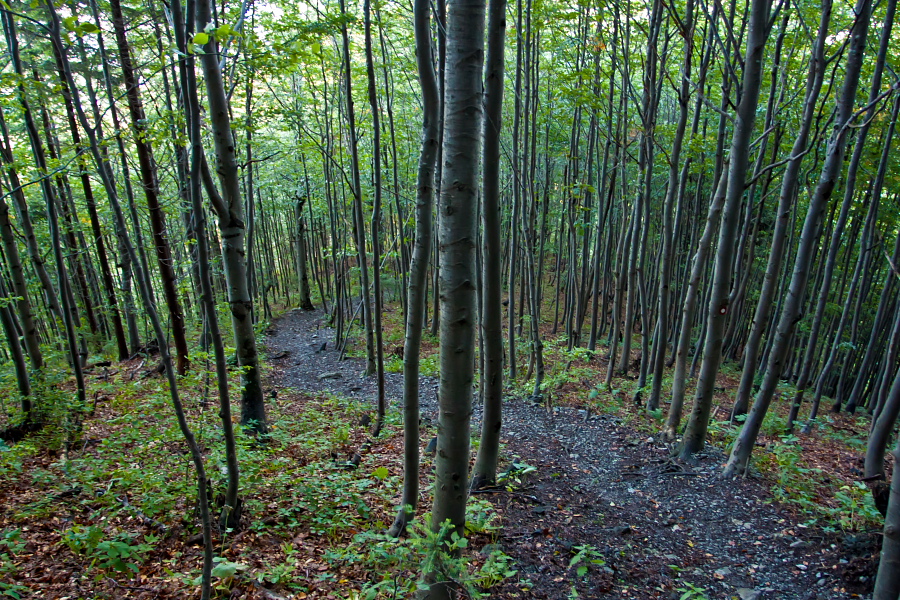
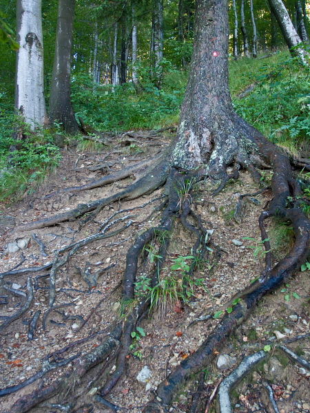
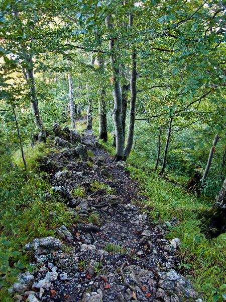
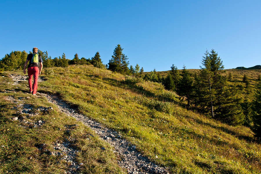
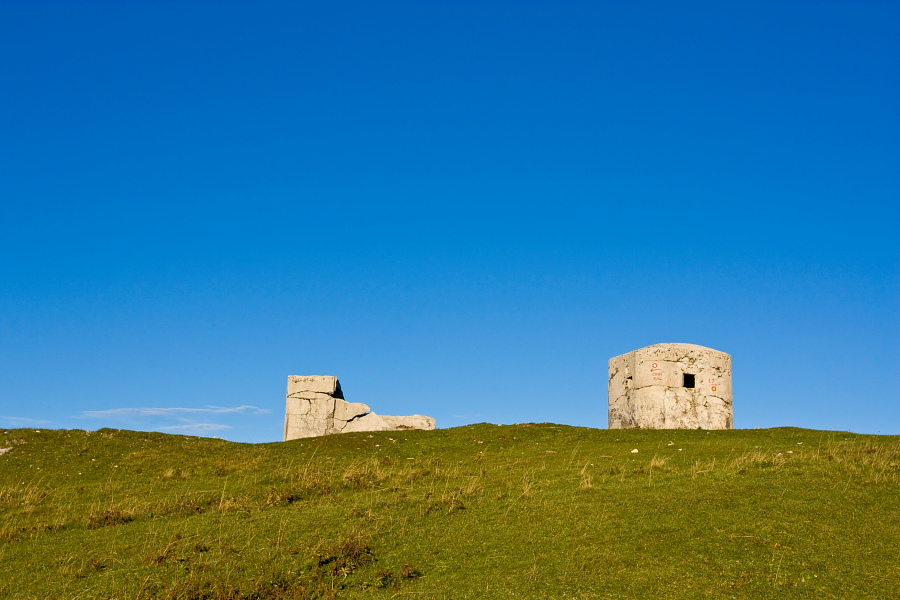
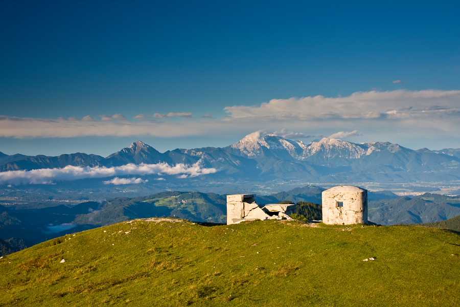
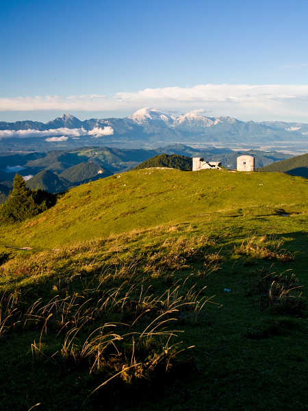
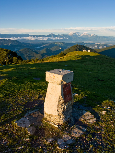
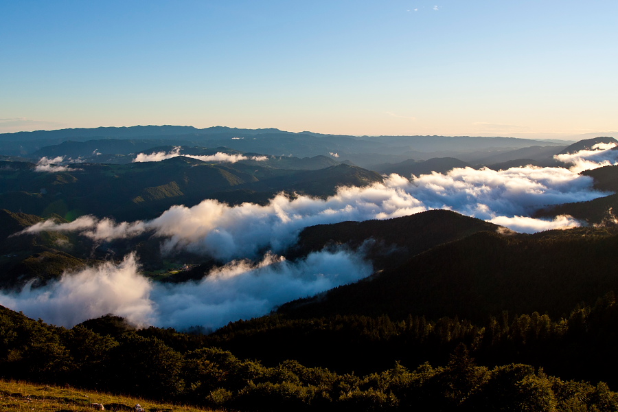
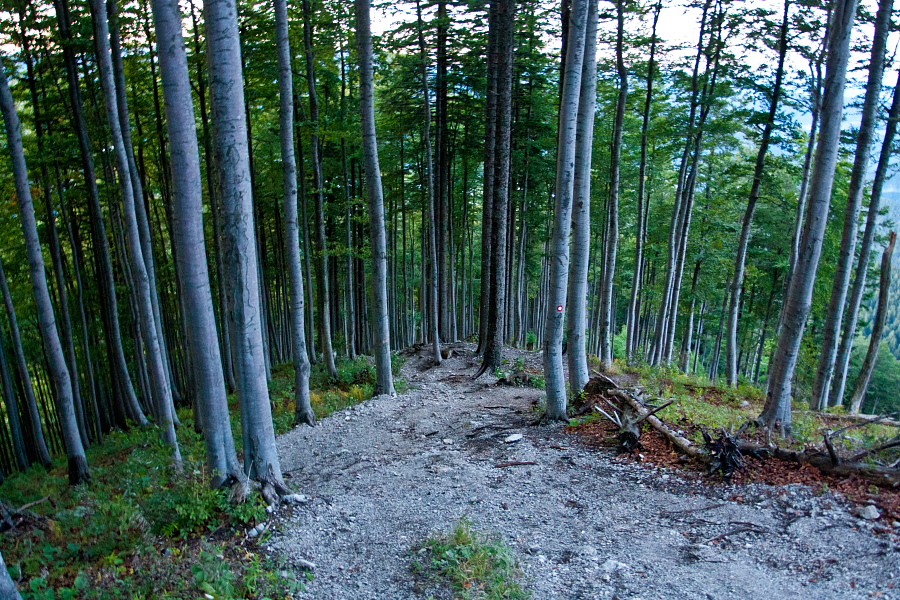
From the parking lot go left on the road past a Partisan memorial board and turn right onto a footpath just behind it. Before long you cross a dirt road and continue in the direction of the markings straight up. The path is pleasant and shady. You will ascend relatively quickly to the bare top slope where you are rewarded with a fabulous view. Past the concrete bunkers of Rupnik defense line ascend to the summit. The Rupnik defense line was being build before the 2nd world war on the border between Italy and the Kingdom of Yugoslavia. There are numerous bunkers, underground shelters and tunnels all over the surrounding hills. Fortunately they were actually never used for army purposes.
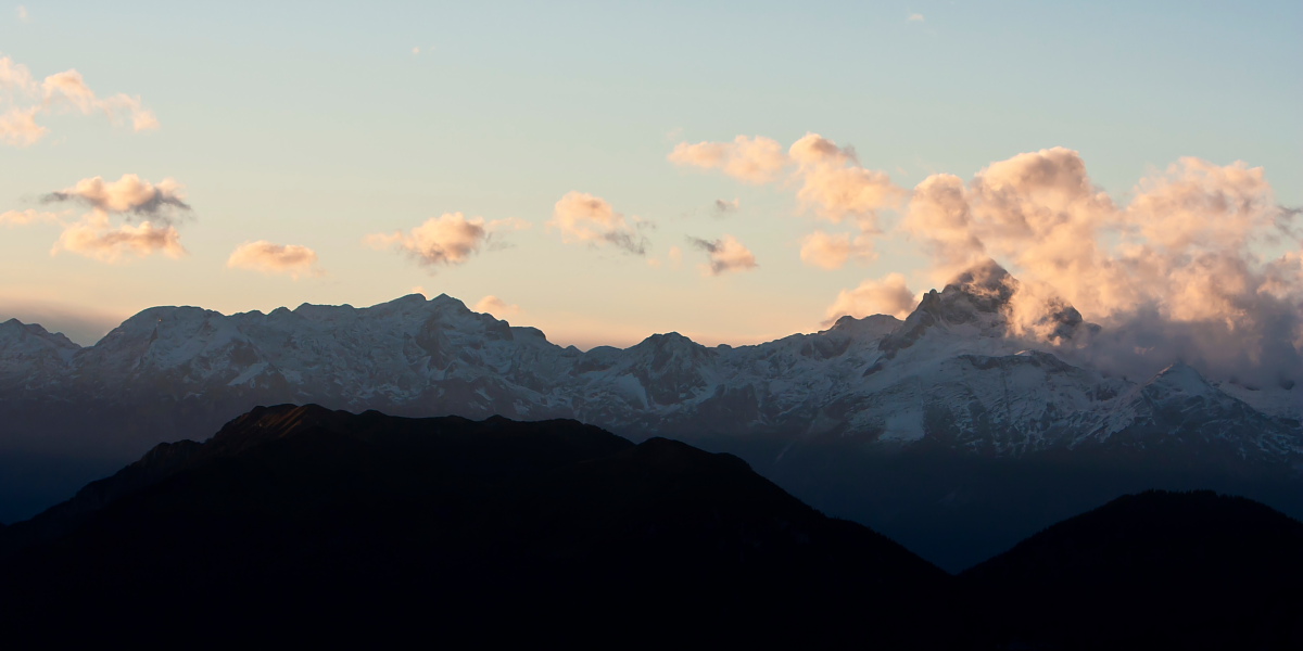
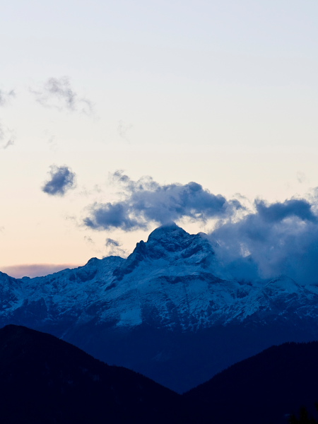
From the summit descend westwards and reach 'Koča Na Blegošu' hut in about 20 minutes. If you go around the hut on the right side, you will spot the signposts which guide you to the right across a wooden fence over a meadow. After that you come into a forest which offers a gorgeous view on Kamnik-Savinja Alps on your right. Keep on the marked path until you reach a dirt road (closed for traffic). Turn right and return to the starting point on this gently sloping dirt road on the north side of Blegoš.
Highest point/summit:
Blegoš: 1562 m
Duration:
Črni Kal - Blegoš (direct path): 1 h
Blegoš - Črni Kal (past 'Koča na Blegošu' hut): 1.15 h
Total: 2.30 h
Difficulty:
1 - The entire route is technically easy.
Type of path: Marked path
