

Starting point:
Drive northwards from Kamnik and follow the markings for Stahovica or Gornji Grad. Ascend towards Črnivec pass and turn left towards Kranjski Rak approximately 500 m before the pass (signpost by the road). Continue to Volovljek pass and start to descend towards Luče. When the road 'straightens' and flattens out, pay attention to a signposts by the road. Namely, a wooden signpost (saying Korošica, Ravne, Podvežak) will direct you to the left. Asphalt ends soon and you ascend on a dirt road. Turn left on the first crossroad and follow the signposts for 'Planina Ravne' as long as the snow on the road allows it. Otherwise park by Planinšek farm (around 1080 m) - the road is plowed until there in winter.
You can also get to the starting point from eastern Slovenia: From Mozirje towards Luče (direction Logar Valley), where you turn left towards Kamnik. Pay attention to signposts for Korošica and Podvežak, which will guide you to the right. Asphalt ends soon and you ascend on a dirt road. Turn left on the first crossroad and follow the signposts for 'Planina Ravne' as long as the snow on the road allows it. Otherwise park by Planinšek farm (around 1080 m) - the road is plowed until there in winter.
Description:
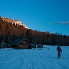
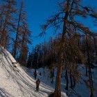
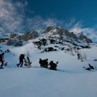
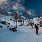
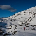
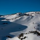
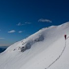
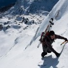
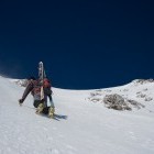
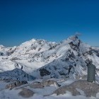
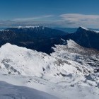
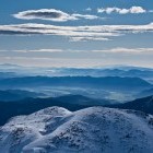
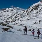
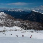
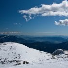
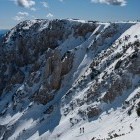
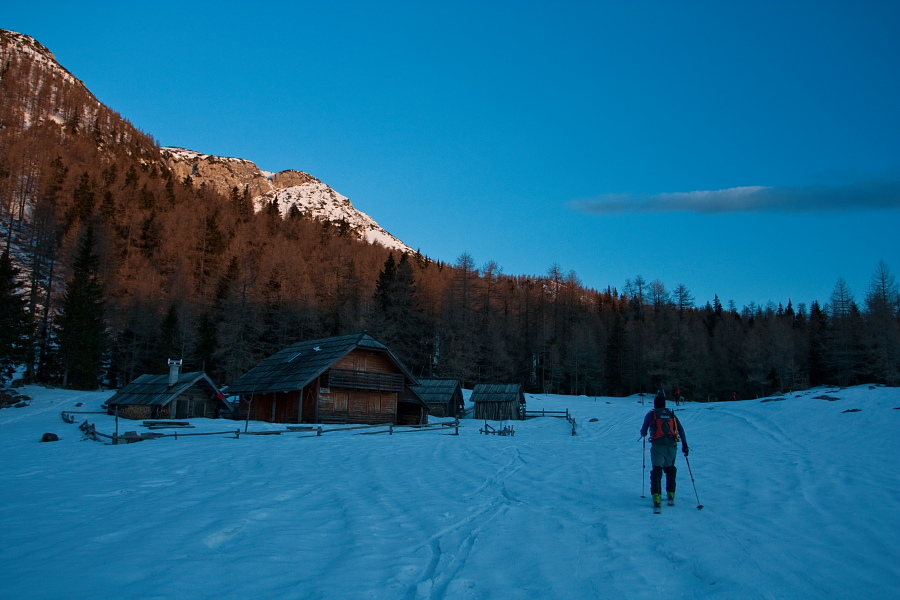
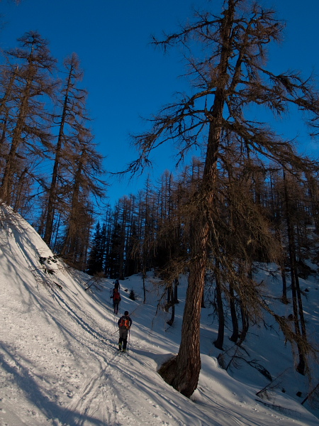
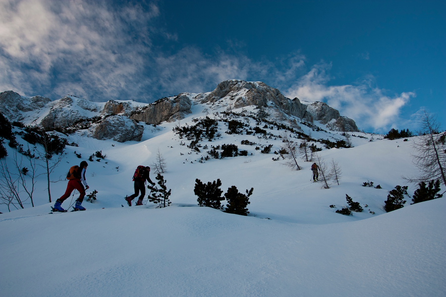
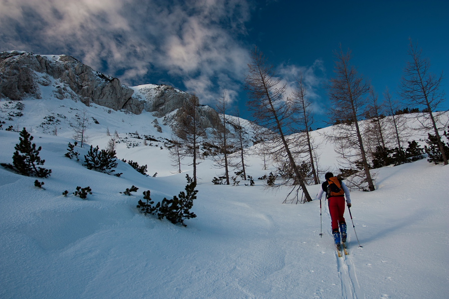
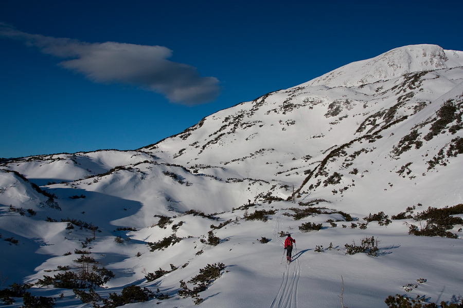
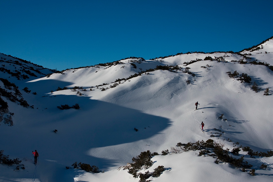
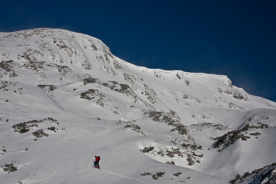
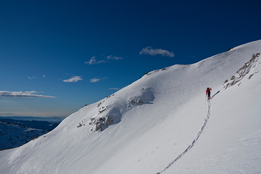
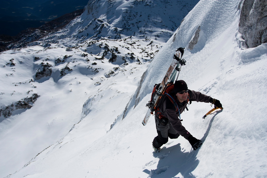
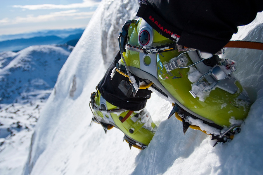
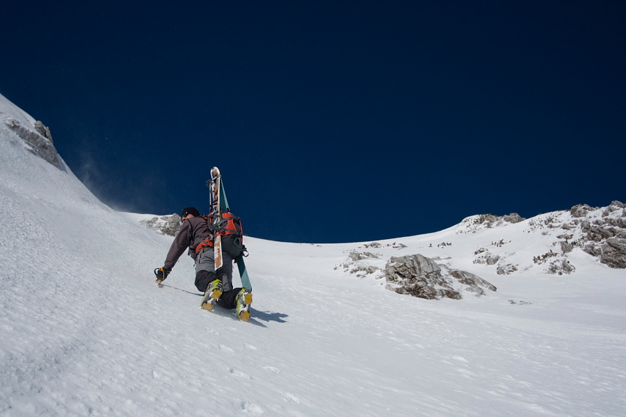
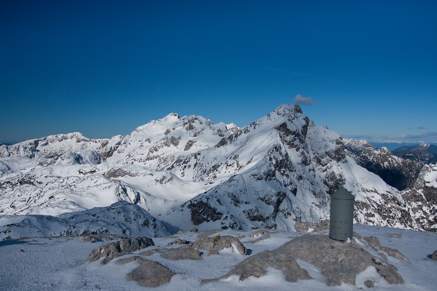
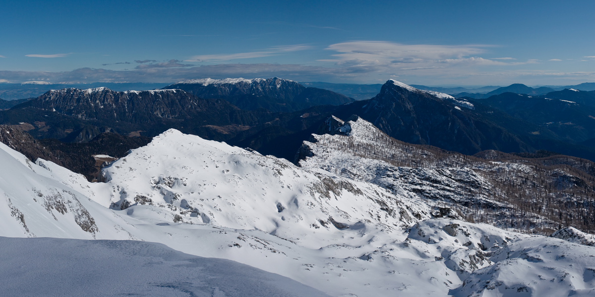
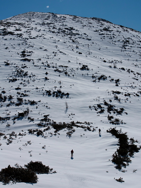
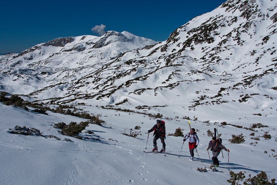
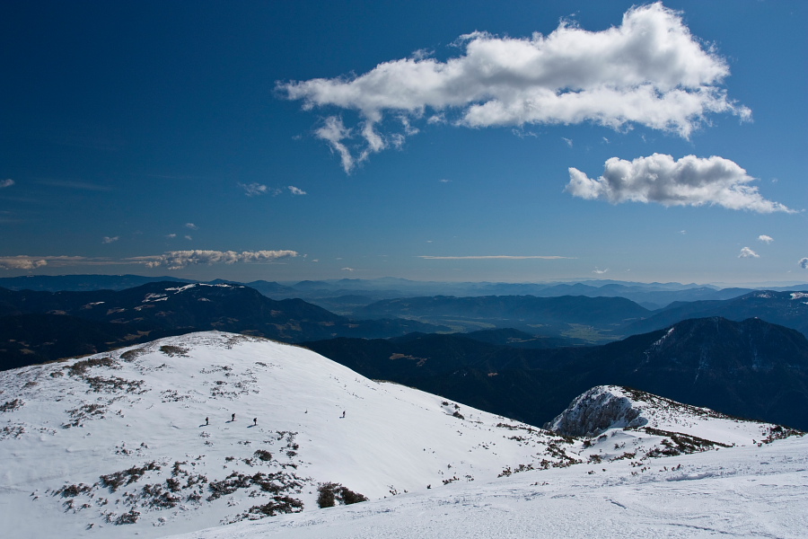
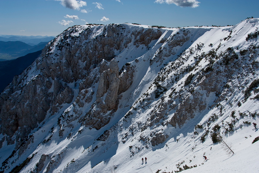
From Planinšek farm continue on a gently sloping road to 'Planina Ravne' (or take a shortcut and leave the road at about 1280 altitude meters and go up directly, cross the road twice until you merge with it again just below Ravne meadow – see GPS data). From Ravne meadow proceed through a larch forest northwards for about a kilometer, then turn westwards and ascend up to a saddle between Dleskovec and Veliki Vrh. On the saddle turn slightly to the right and reach Veliki Vrh from the south-east side. On the GPS track there is an option of ascending across a steep & short 'ravine' (called Direktna Grapa), which takes us directly to the summit from the east side (gradient about 45º, length about 150 m). Only experienced and properly equipped mountaineers/alpinists should tackle it in good snow conditions. A tremendously beautiful view on the entire Dleskovec plateau, Raduha, Peca, Ojstrica, Planjava etc. opens from Veliki Vrh.
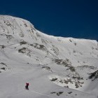
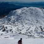
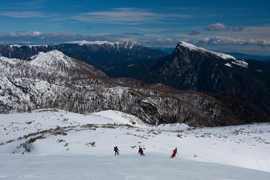
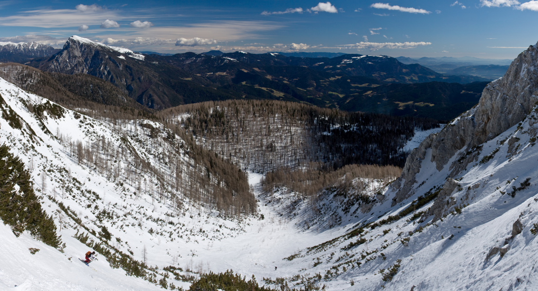
Go back down to the saddle, proceed straight on from there and before long you reach the rounded summit of Dleskovec. Descend across a flat terrain eastwards from the summit of Dleskovec, then the terrain guides you to the right and takes you into a clear valley towards steep rocks; carry on from there on a rather steep slope (endangered by avalanches!) back to the flat terrain above Ravne meadow. Return to Planinšek farm along the road (and take the above described shortcuts).
Highest point:
Veliki vrh: 2110 m
Dleskovec: 1966 m
Duration:
Planinšek farm – 'Planina Ravne': 1.30 h
'Planina Ravne' – Veliki vrh: 2.30 h
Veliki vrh – Dleskovec: 1 h
Dleskovec – 'Planina Ravne': 1 h
'Planina Ravne' – Planinšek farm: 1 h
Total: 7h
Difficulty: 3 (the option across the 'Direktna grapa' ravine has difficulty 5!)
Skiing:
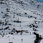
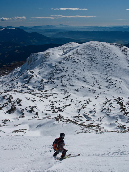
Ski down the described path of the descent. Going down from Veliki Vrh to the saddle and the middle part of descending from Dleskovec are the most difficult sections. There is less space for turning and greater chance of avalanches. Be careful!
Skiing difficulty: 3
Skiing duration: ca. 1.30 h
