

Starting point:
Leave the motorway 'Ljubljana-Jesenice' at the exit for Bled. Follow the signposts for Gorje and Pokljuka. Drive through Spodnje and Zgornje Gorje, the road will soon start to climb up. Proceed forward until reaching Rudno polje on Pokljuka, where you will find a military barracks and sports centre. Park your car in the big parking lot. (approx. 1350 m)
Description:
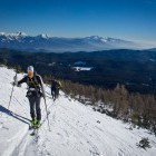
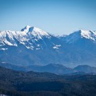
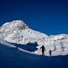
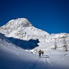
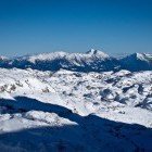
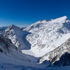
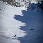
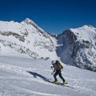
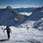
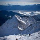
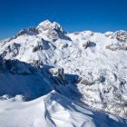
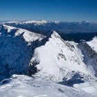
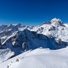
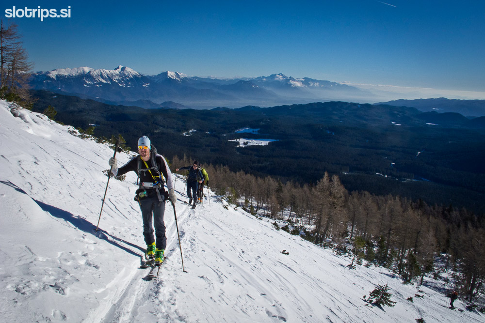
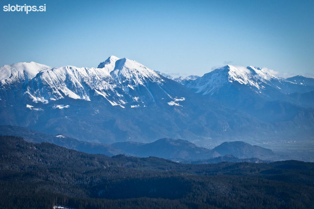
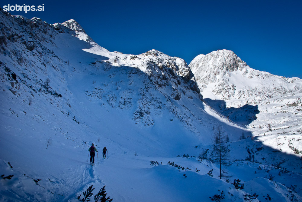
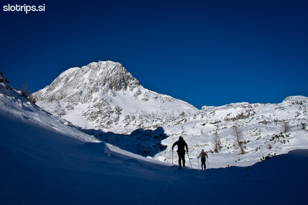
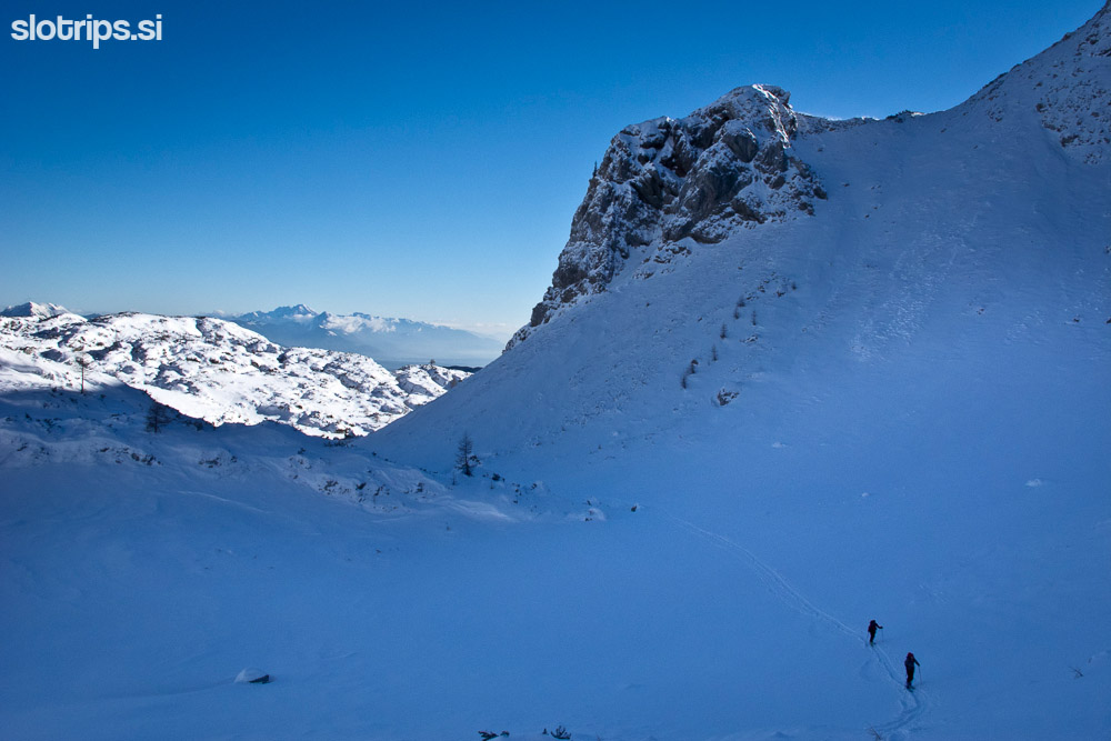
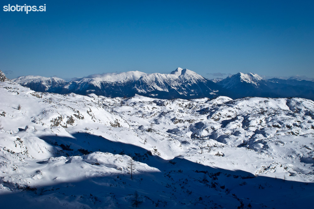
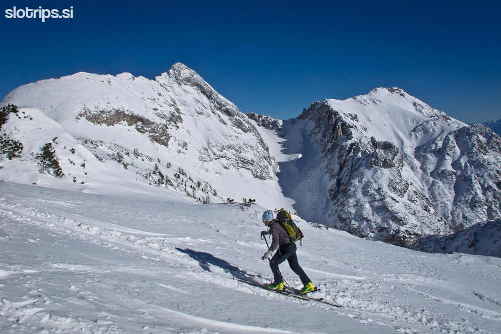
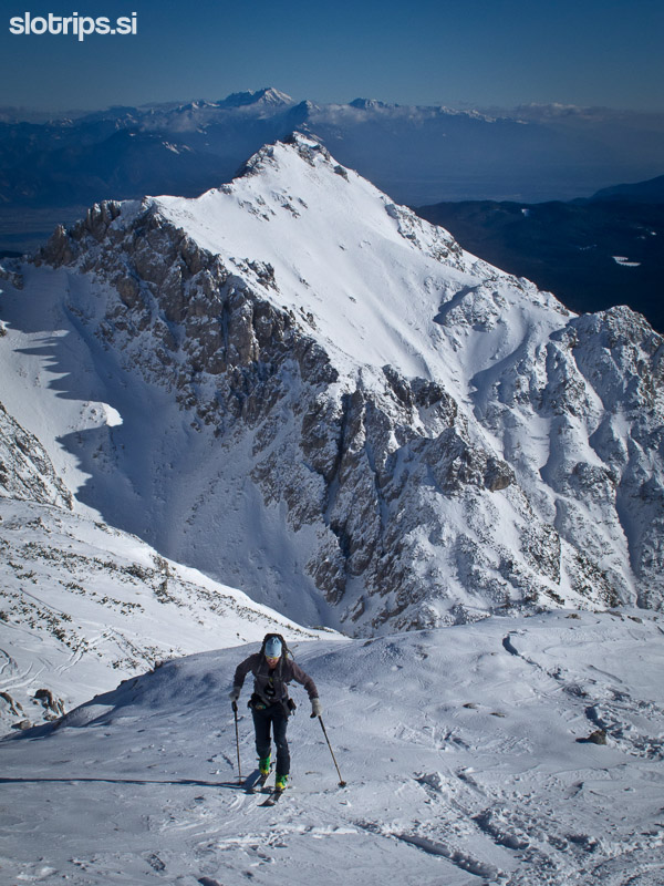
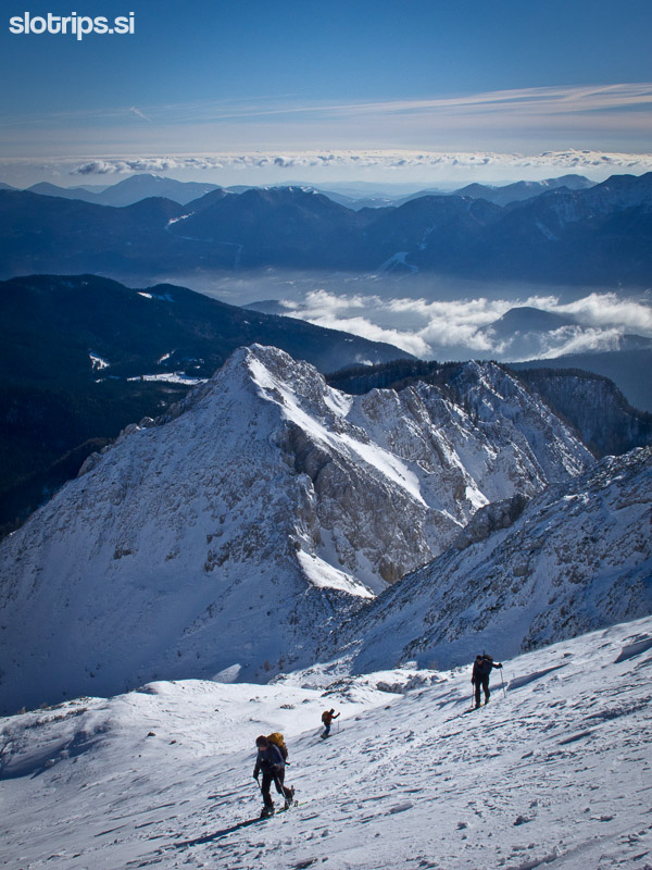
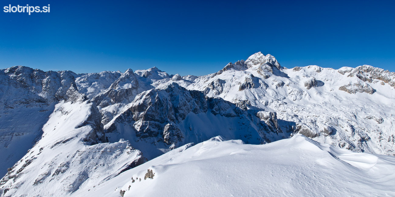
Between the military barracks and the sports centre turn right towards the tiny Viševnik ski slope. After some hundred meters you reach a small ski slope with two ski lifts. Keep on the left part of the ski slope, climb up to the second ski lift and continue straight along a gutter, which is a bit steeper. When the terrain becomes more gradual, the path for Viševnik turns left, but you slowly start to turn right (northwards). Proceed along a gently sloping path through a sparse larch forest and go around the east 'shoulder' of Viševnik. Keep on the eastern slope and when the terrain becomes favourable, turn left to the north side of Viševnik. An interesting sight opens up in front of you, marked by the rocky pyramid of Mali Draški vrh and the northern slopes of Viševnik. Descend gently towards Mali Draški vrh - you will notice a saddle between Viševnik and Mali Draški vrh (Srenjski saddle). Climb up on top and soon the famous pyramidal peak of Veliki Draški vrh will rise in front of your eyes.
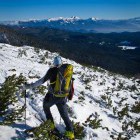
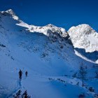
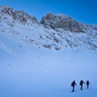
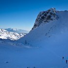
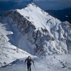
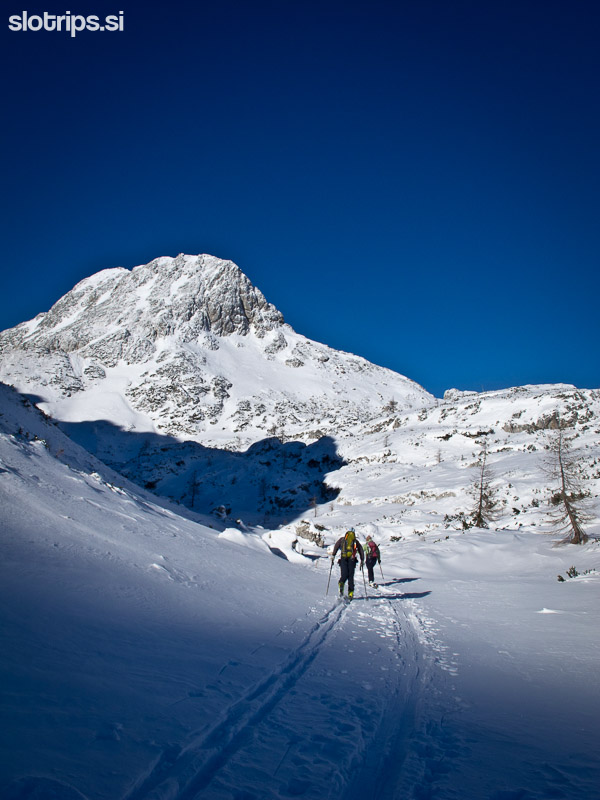
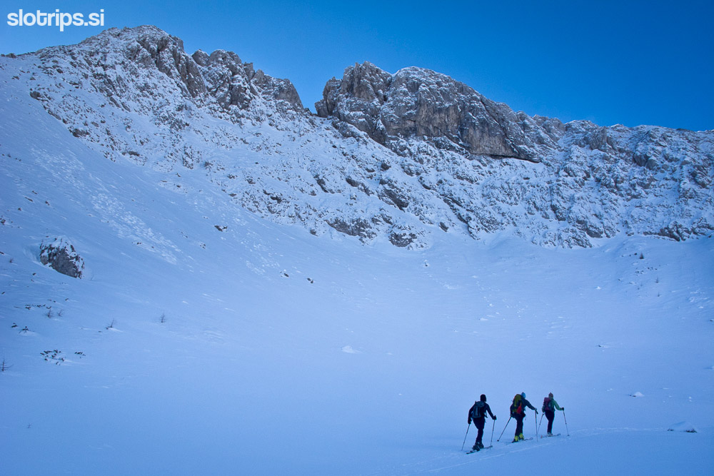
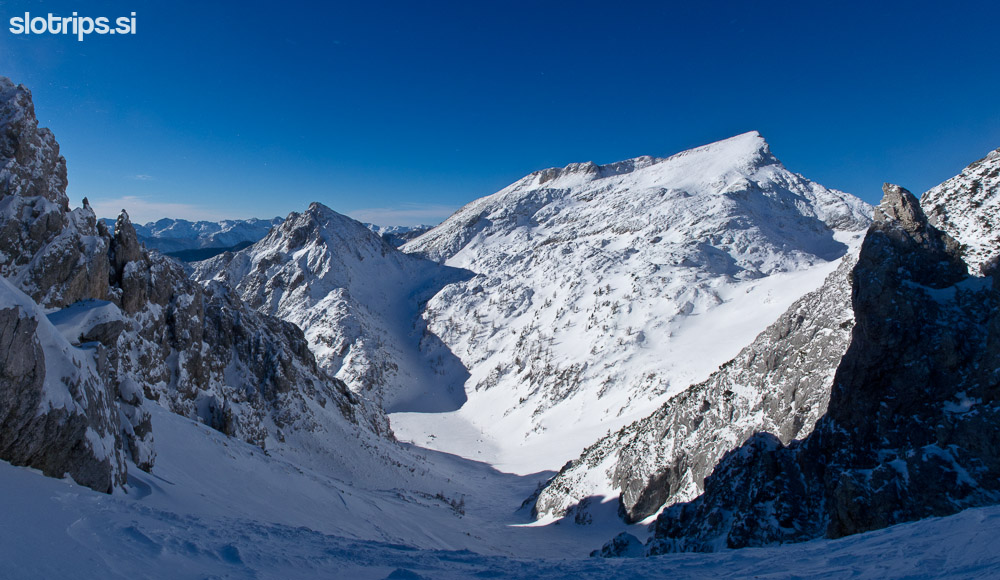
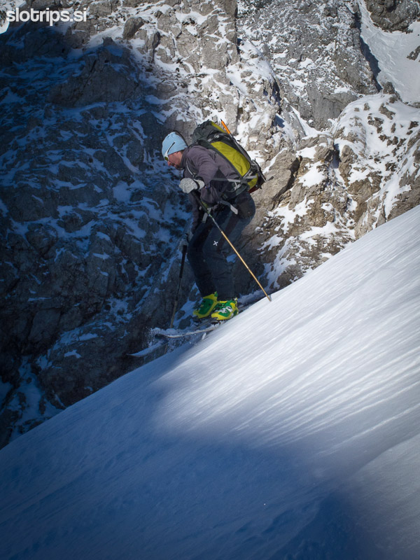
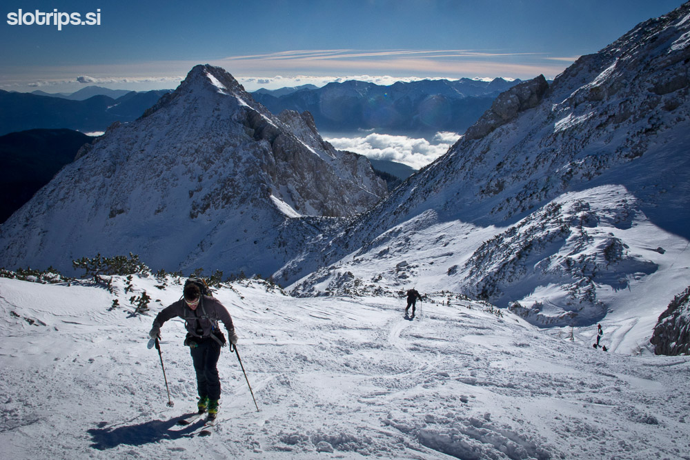
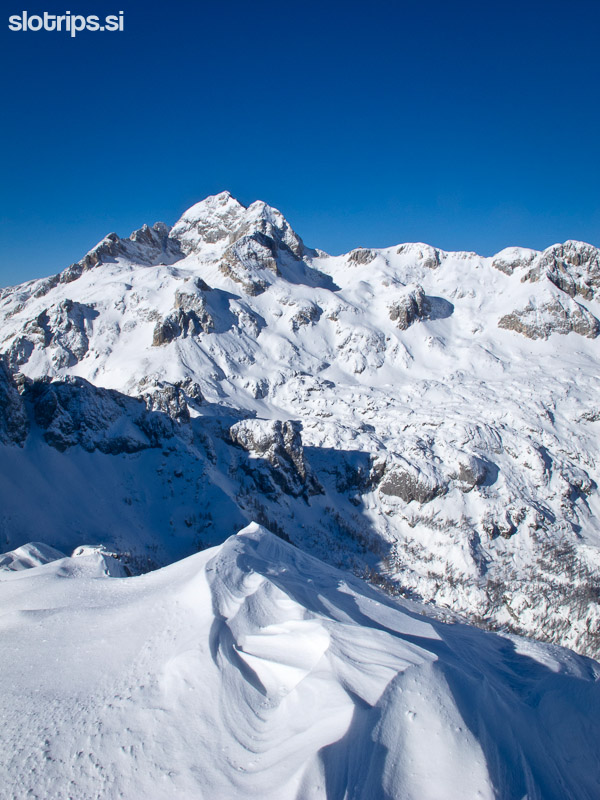
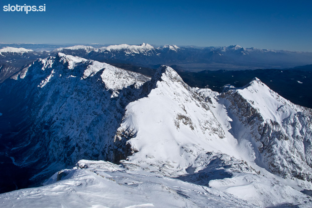
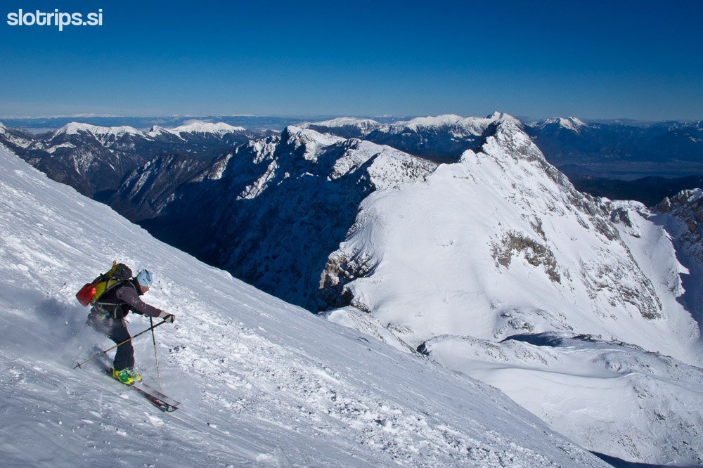
From Srenjski saddle descend for approx. 250 m towards the Jezerce basin, which is surrounded by Ablanca, Veliki Draški vrh, Mali Draški vrh and Viševnik. Continue the ascent towards Studor saddle right above you. Before the saddle turn right and simply follow the path, which leads you through small valleys and hollows to the pyramidal roof of Veliki Draški vrh. The last part of the ascent along 'the roof' is ahead of you, but be careful, because the path is quite dangerous due to slips and avalanches!
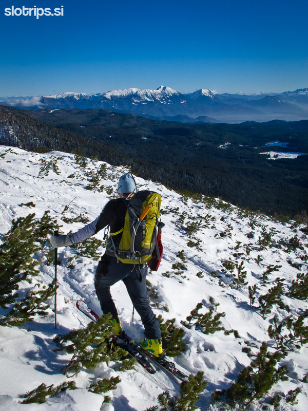
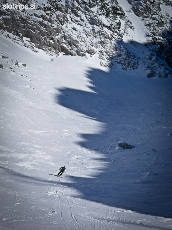
There are different ways to descend from the summit. The easiest is to follow the ascent path towards Jezerce basin, where you turn right and descend to Konjščica meadow, which basks in the sun between Ablanca and Viševnik. From this point it is best to climb up the meadows (for approx. 100 m) on the south-east end of the meadow and look for markings of the trail which leads to Rudno polje. A longer option is to descend from Konjščica meadow along the left bank of the brook towards the south. There's a marked trail to Rudno polje on this path as well. Follow the brook and in approx. 20 minutes you reach the road, where cross-country trails are arranged in winter. You reach the parking lot on Rudno polje along the cross-country trails in half an hour of easy ascent.
Highest point:
Veliki Draški vrh: 2240 m
Duration (the stated times refer to skiers):
Rudno Polje – Srenjski preval saddle (via Kačji rob): 2 h
Srenjski preval saddle – Jezerce – Veliki Draški vrh: 1.30 h
Veliki Draški vrh – Konjščica meadow: 30 min
Konjščica meadow – Rudno polje: 1h
Total: 5 hours
Difficulty of ascent and skiing: 3
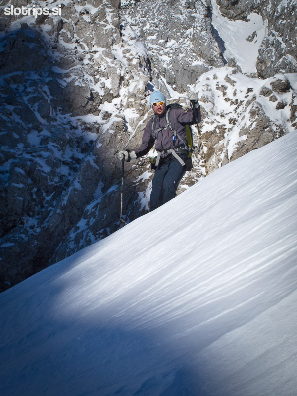
This is a very popular ski-touring tour with very few hikers. The steepest and most difficult part is the ascent on the peak of Veliki Draški vrh, but caution is needed on the steep slopes on both sides of Srenjski saddle as well. Go on this tour only in good snow conditions and with full winter and avalanche safety equipment!
